Ok, I am very late starting this blogs topic, because I actually took my summer vacation way back in early June, when my tomatoes in tonight’s salsa were mere seedlings on my window sill and the Canucks were looking good for their first championships. So much time has past.
I still wanted to blog about my trip, however, because blogging about travel was my first introduction to the medium, and because I like to talk about geology. This trip was all geology. I walked down to the bottom of the Grand Canyon with a buddy of mine who shall remain anonymous, but happens to be a Professor of Geology. The purpose was to enjoy the majesty, a once-in-a-lifetime hiking trip, and a chance to get away from spring doldrums, but mostly to look at and enjoy the geology of the Colorado Plateau.
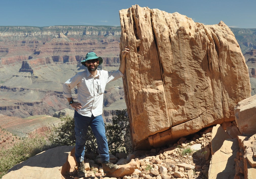 |
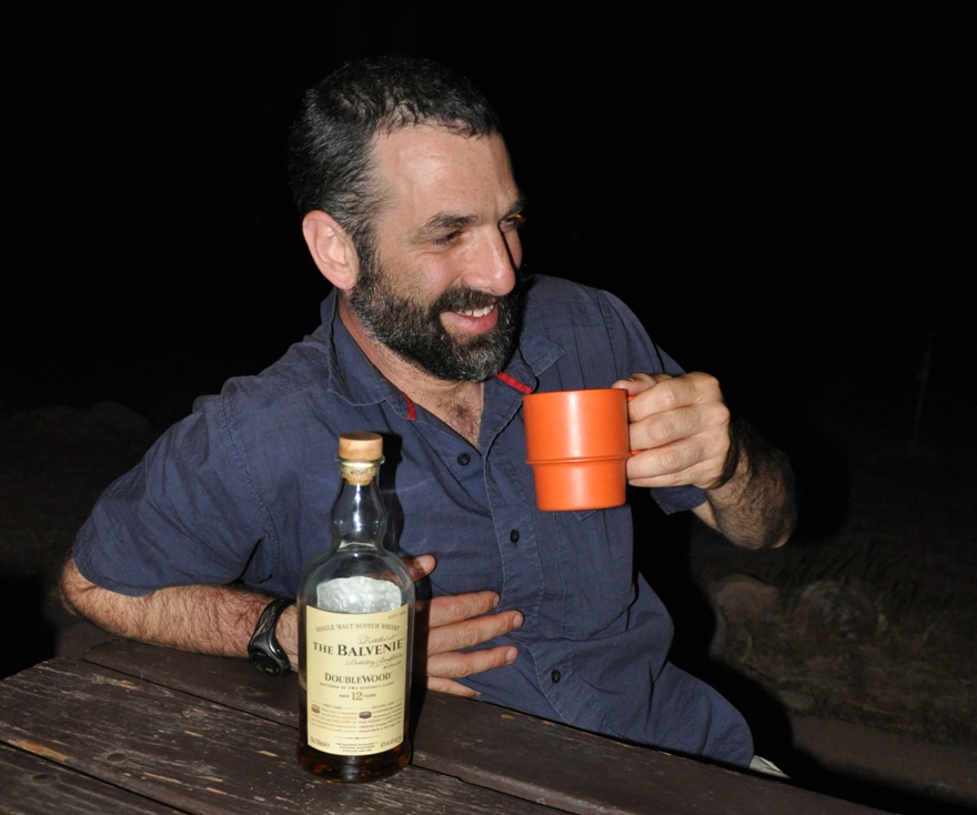
| The author with some Coconino Sandstone |
For those lucky enough to have avoided travelling with a geologist, it is hard to explain what “enjoying the geology” means. It is startlingly close to what you would do if you were working in geology. We first review the available literature, then look at the rocks, try to identify the rock types, look for recognizable structures, fossils or traces, try to make sense of the structural relationships, or figure out the paleo-envrionmental conditions where they were deposited. Try to point at all of the changes from one “formation” of rock to another, be that a sharp unconformity or a gradual transition. And we take lots of pictures, and talk a lot of rocks.
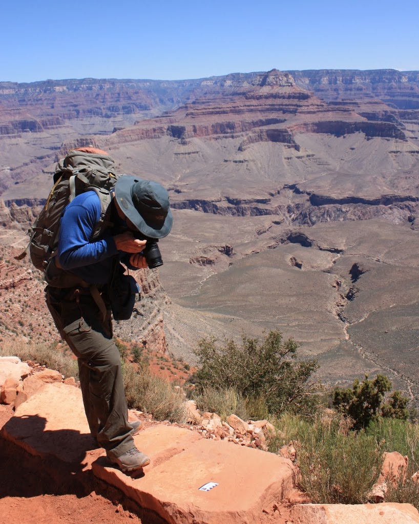 |
| Geologists generally have more pictures of their scale card than they do of thir kids. |
How many pictures? I took about 250 photos below the canyon rim. The Prof took more like 500.
How much talking? We walked down the South Kaibab Trail to the Colorado River, about 12km, and all downhill. Even with the heat and rough trail, most people complete the hike in 4 or at most 5 hours. It took us about 9. After a day hanging at the bottom of the Canyon enjoying the charms of Phantom Ranch, we managed to come back up the Bright Angel Trail in a much more reasonable 8 hours. We were carrying less whiskey this way.
I am going to blog the trip in pieces, in the order of rock formations encountered on the way down (therefore, some pictures form the way up will be mixed in with those from the way-down). That way, the narrative will be a journey backwards through geologic time, more than a tour through our three-day trip. Remember, Law of Superposition: the rocks at the top are the youngest, the rocks at the bottom oldest.
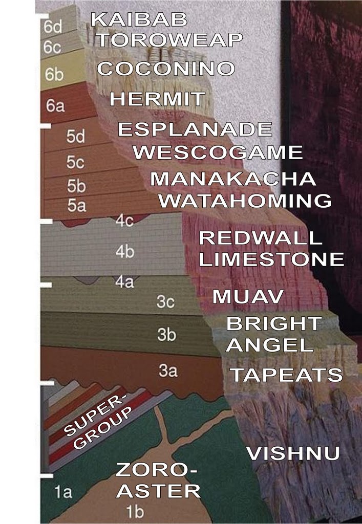 |
| Simple section of the canyon, modified from wikipedia. |
This section shows the names of the major rock formations one encounters walking down the canyon, from the Early Permian Kaibab Limestone (about 275 million years old) at the top to the Precambrian Vishnu Schist (probably 1.7 billion years old). Add to this the Laramide Orogeny, resultant uplift, and 2 million years of melted snow runoff from the Colorado Rockies, and you get yourself a canyon drawn grand.
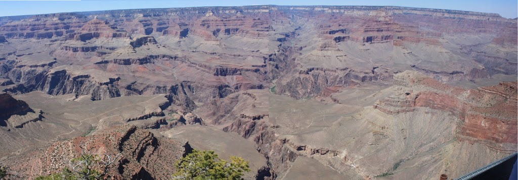 |
| Click to make grander and more panoramic. |
Details to follow…
 |
| It wasn’t all fun and games. |
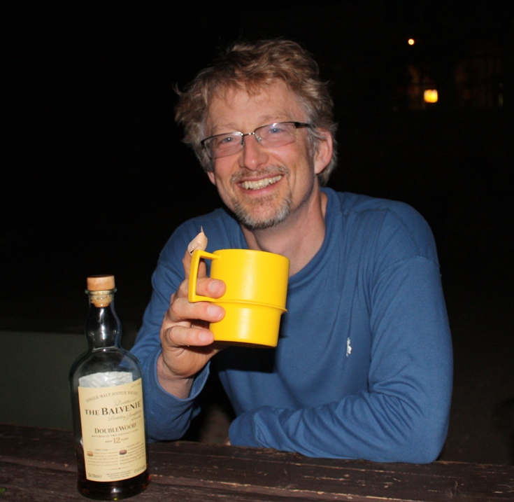 |
| Happy 50th, Prof! |
Have you ever been to Horsehoe Valley, near Drumheller? I’m not a geologist so I have no fancy way to describe it other than “it looked cool”. Here is a picture. http://flic.kr/p/2pRtd
Horseshoe valley is cool, but the comparison to the Grand Cayone tells ua a lot about differences in scale: size and time.
Horseshoe: ~200m deep, Maybe 1km across.
Grand: ~1600 m deep, 20km accross.
Horseshoe: ~70 Million year old rocks (Upper Cretaceous)
Grand: ~270-1700 Million year old rocks (Precambrian to Permian)
Of course, Horseshoe has dinosaurs, which immediately levels the playing field in the cool department…