Grand Canyon Part 2: The Kaibab Limestone

The top of the Grand Canyon, and much of the rubbly plain surrounding it, are made up of rocks of the Kaibab Formation. The Kaibab is a limestone unit, somewhere around 270 million years old, which puts it in the middle of the Permian Period of the Paleozoic Era.

The world was a different place in the Permian. This is a time before there were birds or mammals, even the dinosaurs had yet to develop. The dominant land animals were synapsids, which look rather like modern lizards but were more mammal-like than reptilian (with differentiated teeth and quite possibly fur). They were almost completely wiped out in the Great Permian Extinction (lucky for you they weren’t, as one of your ancestors was a Permian synapsid).

There were no flowering plants in the Permian, but cycads, ginkgoes, and ferns were common. In the sea, 300 million years of Trilobite domination was about to come to an end, and echinoderms and mollusks were rising, especially a new-fangled cephalopod mollusk, the Ammonite, which was starting it’s impressive 200 million-year reign as king of the Sea.

The Permian was also the last time that all major continental land masses were collected together through Plate Tectonics into one “supercontinent”- Pangaea, leading to bad T-shirt ideas ever since (people calling for Pangaea’s reunion rarely consider that the supercontinents correlate very well with massive declines in biodiversity, but I digress). In the part of Pangaea that is now northern Arizona, there was a shallow sea facing to the west, with the shoreline shifting around somewhat, as they are apt to do on million-year time spans, which brings us to the limestone.

Limestone is generally deposited in shallow ocean water as a result of biological precipitation of carbon dioxide and calcium out of the water column – which is a fancy way of saying: it is all shells. Not just shells of bivalves like clams and oysters, but structural parts of corals, echinoderms, sponges, and perhaps most importantly, microscopic plankton. As this pile of dead and discarded shell material is compressed, heated and dewatered, it cements together into a very hard rock: limestone. Well, it is actually kind of soft by rock standards, and it is easily dissolved (on a geologic timescale) when exposed to meteoric water. However, it often forms large, homogeneous blocks that can be very resistant to erosion in arid place, like the Colorado Plateau into which the Grand Canyon has incised.

In places west of the Grand Canyon, younger rocks are piled on top of the Kaibab, but around the canyon, these younger rocks have been eroded away at some point in between the 270 Million years since it’s deposition in the shallow ocean and it’s current exposure more than two Kilometres above sea level.

Did I mention my fear of respect for heights?

The Kaibab is hard enough to form vertical walls at the Canyon rim, some more than 300 feet high. It is also distinctly grey in colour, making a visible band around the canyon rim, and is easy to differentiate from the reddish sandstones and shales below. The underlying Toroweap formation is not as resistant, and forms rubbly slopes below the Kaibab cliffs.

Kaibab – you can recognize it from 10 miles away.

Close up, the Kaibab is grey in colour, and is variously massive (showing little internal structure) or mottled with chert nodules and fossils. It is also variously mixed with relatively thin shale or sandstones beds, just enough to give a sense of bedding.

This poor, suffering bastard could use a bed. Fortunately, there is
beautifully expressed bedding in the Kaibab Limestone outcrops behind him!
Chert nodules weathering out of Kaibab limestone. Note pointing doofus for scale.

“Chert” is a micro-crystalline form of quartz (more or less pure silica) that is much harder and less soluble than the limestone so it really stands out from the limestone surface. These nodules formed in the limestone when it was buried and hot groundwater with silica dissolved in it percolated through the limestone depositing crystals. These look like fossils, and indeed some of them do form around incongruities in the limestone caused by fossil structures, or in tunnels bored through the sediments on the ocean floor by various animals who might be grazing through the sediment looking for food (like worms do in soil) or making tunnels or tubes to live in (like some types of shrimp or clams might do). These are “trace fossils”, and I will go on at length about them in later posts.

I like trace fossils.

What I did this summer – Grand Canyon.

Ok, I am very late starting this blogs topic, because I actually took my summer vacation way back in early June, when my tomatoes in tonight’s salsa were mere seedlings on my window sill and the Canucks were looking good for their first championships. So much time has past.

I still wanted to blog about my trip, however, because blogging about travel was my first introduction to the medium, and because I like to talk about geology. This trip was all geology. I walked down to the bottom of the Grand Canyon with a buddy of mine who shall remain anonymous, but happens to be a Professor of Geology. The purpose was to enjoy the majesty, a once-in-a-lifetime hiking trip, and a chance to get away from spring doldrums, but mostly to look at and enjoy the geology of the Colorado Plateau.

The author with some Coconino Sandstone

For those lucky enough to have avoided travelling with a geologist, it is hard to explain what “enjoying the geology” means. It is startlingly close to what you would do if you were working in geology. We first review the available literature, then look at the rocks, try to identify the rock types, look for recognizable structures, fossils or traces, try to make sense of the structural relationships, or figure out the paleo-envrionmental conditions where they were deposited. Try to point at all of the changes from one “formation” of rock to another, be that a sharp unconformity or a gradual transition. And we take lots of pictures, and talk a lot of rocks.

Geologists generally have more pictures of their scale card
than they do of thir kids.

How many pictures? I took about 250 photos below the canyon rim. The Prof took more like 500.

How much talking? We walked down the South Kaibab Trail to the Colorado River, about 12km, and all downhill. Even with the heat and rough trail, most people complete the hike in 4 or at most 5 hours. It took us about 9. After a day hanging at the bottom of the Canyon enjoying the charms of Phantom Ranch, we managed to come back up the Bright Angel Trail in a much more reasonable 8 hours. We were carrying less whiskey this way.

I am going to blog the trip in pieces, in the order of rock formations encountered on the way down (therefore, some pictures form the way up will be mixed in with those from the way-down). That way, the narrative will be a journey backwards through geologic time, more than a tour through our three-day trip. Remember, Law of Superposition: the rocks at the top are the youngest, the rocks at the bottom oldest.

Simple section of the canyon, modified from wikipedia.

This section shows the names of the major rock formations one encounters walking down the canyon, from the Early Permian Kaibab Limestone (about 275 million years old) at the top to the Precambrian Vishnu Schist (probably 1.7 billion years old). Add to this the Laramide Orogeny, resultant uplift, and 2 million years of melted snow runoff from the Colorado Rockies, and you get yourself a canyon drawn grand.

Click to make grander and more panoramic.

Details to follow…

It wasn’t all fun and games.
Happy 50th, Prof!

East Point Geology

As I have noted before, in one of the earlier lives I was a geologist. Like most people who are once geologists, I am always thinking like a geologist, in that I can never walk by a rock without looking sideways at it, and making up stories in my head as to its origin.
A summer long weekend on the Gulf Islands (the Canada Day Lamb Roast on Saturna Island is a family tradition, going on long enough now that I have an assigned volunteer role) gets me looking at rocks again, and rocks I know well and love.
I actually did my Master’s Thesis looking at rocks of the Nanaimo Group on the Gulf Islands, so I have a particular affinity to Upper Cretaceous sedimentary rocks, and always see the sandstones, conglomerates and mudstones of the Gulf Islands as “my rocks”.
On Saturna, I spend most of my time out on East Point, where the exposures of the Geoffrey Formation are dominant. This is a very late Cretaceous set of rocks, probably 75 million years old. For context, 75 Million years ago there were dinosaurs walking about, all the mammals in the world were shrew-sized or smaller, and the dominant form of sea life was various hard-shelled cephalopods we call ammonites. The Coast mountains were actively building up, as were the Rockies, and the coast was much more like the west coast of Chile is now, with the mountains the size and scale of the Andes, and a deep subduction trench off the coast. Vancouver Island was, for all intents and purposes, not there.

There is some debate about where these Nanaimo Group rocks were, geography-wise, when they were deposited. There is no doubt they were deposited into an ocean, facing west, near a coast open enough that they were subjected to large hurricane-force storms on a regular basis. Most of the geology and the palaeontology suggest they formed in the temperate Proto-Pacific (just a little south of where they are now), but there is a pretty interesting body of geophysical data suggesting they were much further south in the tropics, around present-day Baja Mexico, when they were formed. The “Baja-BC Hypothesis”. I for one side with the geologists over the geophysicists, purely on a weight-of-evidence argument, but that is neither here nor there.

The Geoffrey Formation rocks of Saturna were deposited as part of a submarine fan complex. They were deposited in the ocean, deep enough that surface waves, even during the biggest storms, did not effect the sediments on the ocean floor. They were influenced, however, by large submarine “turbidity flows”, or large landslide-like events that occur occasionally in the ocean. Walking along the shores of Saturna, the evidence of these events is written large on the rocks.

In the ocean, sediments are deposited fairly slowly. As the currents away from the shore are pretty gentle, it is only fine materials like silt and clay that get out there to be deposited. The sand and coarser material is washed around on the beaches and near the shore, and is constantly re-worked by wind and wave and bugs in the soils, but there just isn’t enough wave energy to move them our very far out into the ocean. The exceptions are big storms, which can ramp up enough of the wave energy to move much of the sand and gravel built up on the beaches further out to sea, or big flood events along deltas, when there is a big migration of river sand out to the delta front. For the most part, however, the coarser sediments get to the shore (or just offshore) and basically stay there, building up over time into big, unstable, shelves of loose material.

To quote Thom Yorke: gravity always wins. When these shelves build up large enough, they eventually begin to fail along submarine canyons. When large amounts of water-saturated sand and silt, with a little gravel mixed in, begin to move under water and flow down these submarine canyons, they do so in the form of “turbidity currents”. These high-speed flows of are a lot like the “mudslide” that just buried Highway 1, but because they are underwater and are water-saturated, they behave very differently. The turbidity of their flow keeps them suspended on a laminar base, and they can therefore move very far along a shallow slope with little energy loss. Most remarkable is what happens when friction rises to a critical point and overwhelms the forces keeping the flow moving: the sediments almost instantly “freeze” in place. This makes them very distinctive from river sands or beach sands or even dunes in a desert, where the constant working by currents result in complex structures like cross beds and dunes and ripples.

Fancy as this may sound, I’m not making this shit up. We know these things happen because we can go to places like the modern Indus Fan or even the Mendocino Trench and see these things operating today. Geology is great that way: uniformitarianism rules all.

Even more fun with the submarine fans is that the material they transport can include the fine gravel or coarse sand moved out to the shelf by floods or storms, along with the layers of fine mud deposited in the calm deep ocean, and fossils from boththe shallow water and from the deep water, and even pieces of terrestrial plants like logs and leaves, flushed into the shallow ocean, all mixed together in a chaotic matrix. At East Point on Saturna Island, we can see the deposits of all this.

Mostly, the Geoffrey Formation sandstones at East Point are thick and massive, with only minor interbeds of pebble to cobble conglomerate, and only widely dispersed silty mudstone layers. The sandstone represents the bulk of the material stored along the shoreline (not too dissimilar to the sand built up off the coast of Vancouver Island now, to hundreds of metres of depth), and the bulk of the material that filled those submarine channels when there were turbidity flows, and they are the material that sometimes “froze in place”. These massive sandstone beds (“massive” in geology does not mean it is really big, it means that the entire bed is homogenous, without cross beds or ripple marks or bedding planes) are the beds that tend to erode in a pattern known as “taphoni” or honeycomb weathering, one of the most distinctive features of the sandstone of the Gulf Islands.

“taphony” weathering

There are also a few conglomerate beds mixed in with these sandstones, where material from closer to shore was swept out though one of these long canyons. This material is more dense than sandstone, so it concentrates along the bottom of the flow, where it erodes into the underlying sand material and creates a sharp contact on the bottom of the bed. Sometimes other material is mixed in with the gravel, especially shell material, now fossilized.

Gravel bed, note “sharp” contact at bottom where gravel eroded into soft sand, and more gradual shift to sand on top.
That big oval to the right of the lens cap is actually a section through a bivalve shell, which got broken up as it moved along with the graveland sand, but preserved finer mud material from where it was living within it’s hollow. I’m not a paleontologist, but that there is a ~70 Million year old clam of some sort.

But on the south edge of East point, down by the water is a really special bed. Collected along the bottom of a bed are polygonal hunks of mudstone. These chunks often have bedding structures within them, showing the mud was laid down gently over time, with only the faintest traces of currents in thin silty interbeds. Often, there are trace fossils, showing that some type or animal eked out some meagre existence within those mud beds.

Note the bedding is only within the chunk of mud, which is oriented chaotically compared to the sandstone beds, and compared to the bedding in other chunks of mud. Also, the edges of the mud chunk are broken up, or even bent. These big mud balls are colloquially called “rip-up clasts”. They are literally hunks of soft sediment deposited on calm water then ripped up by the turbidity current and swept along in the flow. We know they were pretty firm and compacted, because they didn’t completely break up in the flow but remained cohesive and moved along like a wet pile of cardboard. We know they were soft sediment and not “rock” because they were easily folded, bent and had their edges eroded by the flow. They are mud, so they are denser than the saturated sand, and collect towards the bottom of the flows, and are mixed in with gravels and fossil fragments. When the flow stopped, they were “frozen in place”, without the ability to fall into a layers. The result is some pretty amazing patterns:

So there I was, on a Gulf Island long weekend, looking at a rock sideways and making up stories of their origin. Drives the iCandy crazy.

Ubiquitous Gulf-Island-sunset-from-the-pub shot.

Geology and Climate Denial

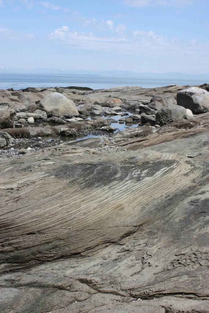
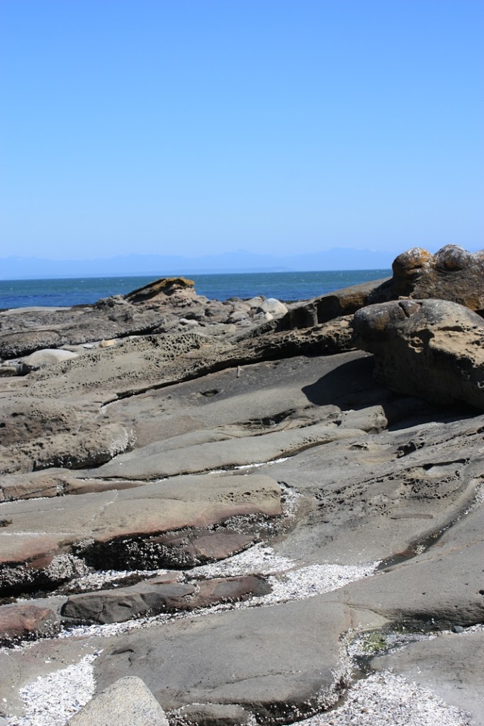
In one of my earlier lives, I was a geologist.

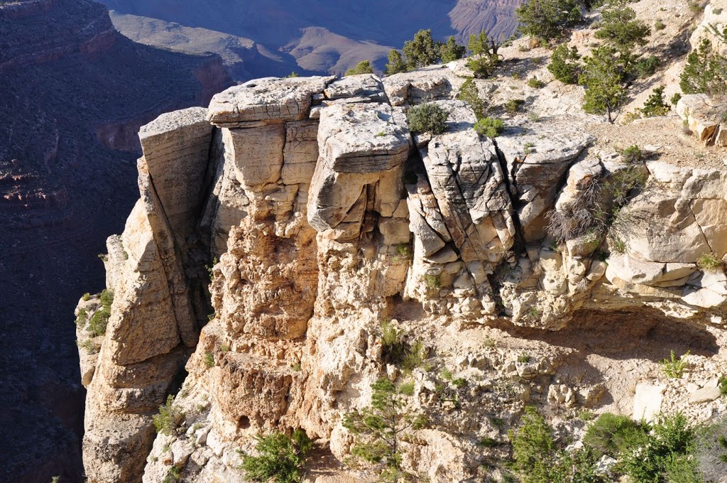
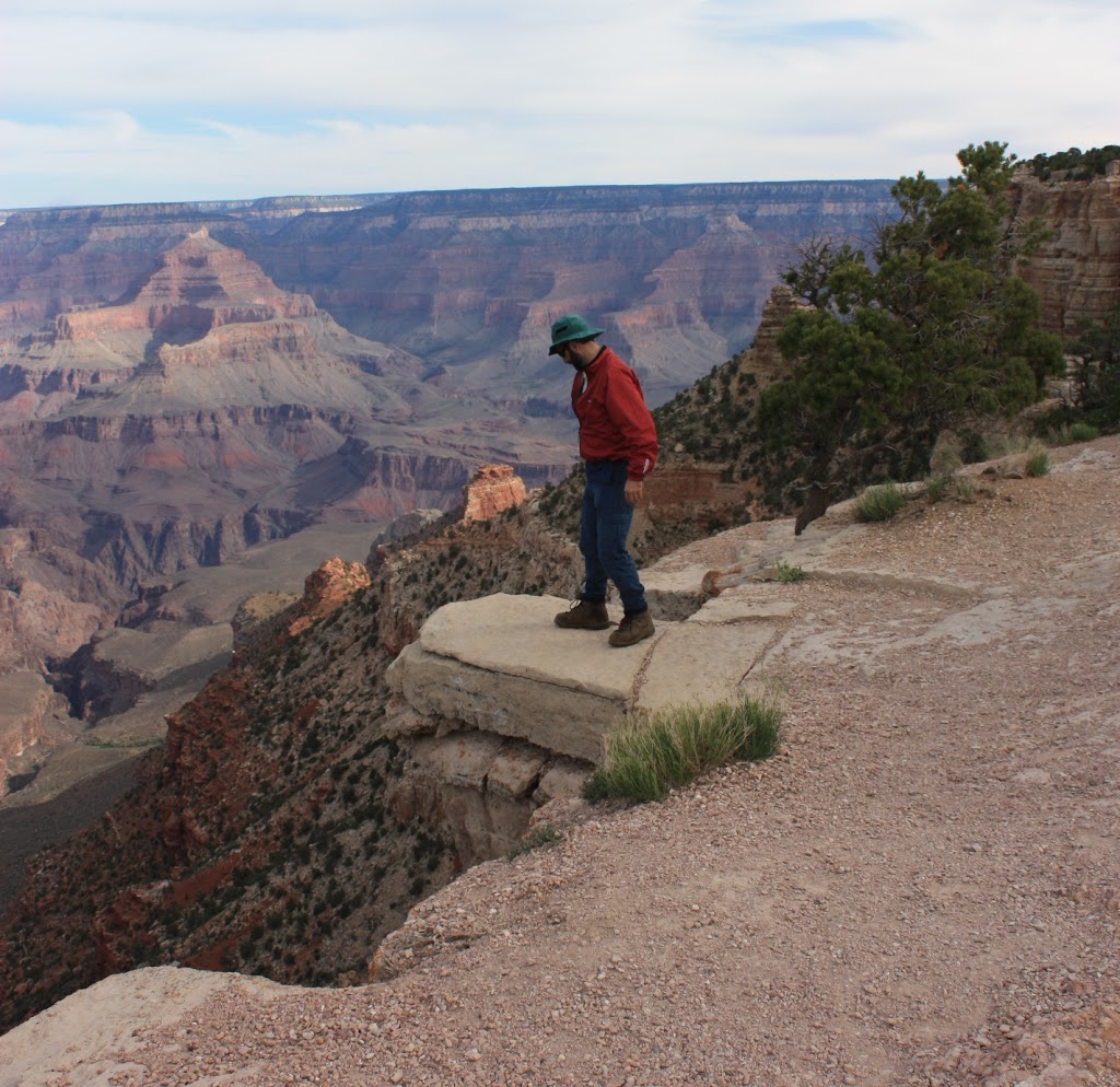
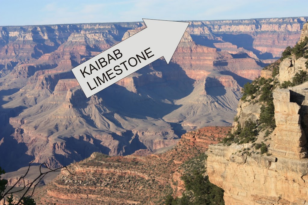
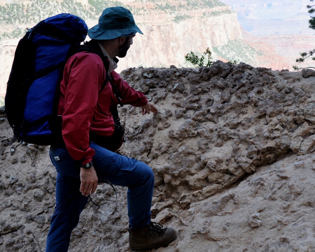
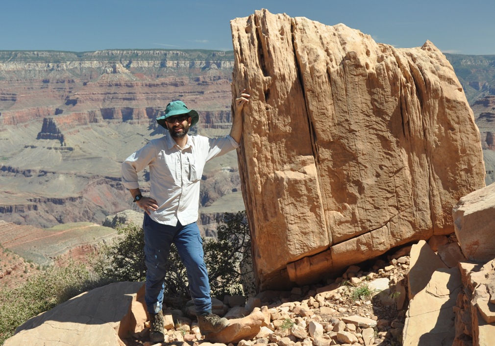
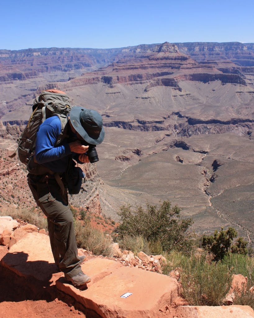
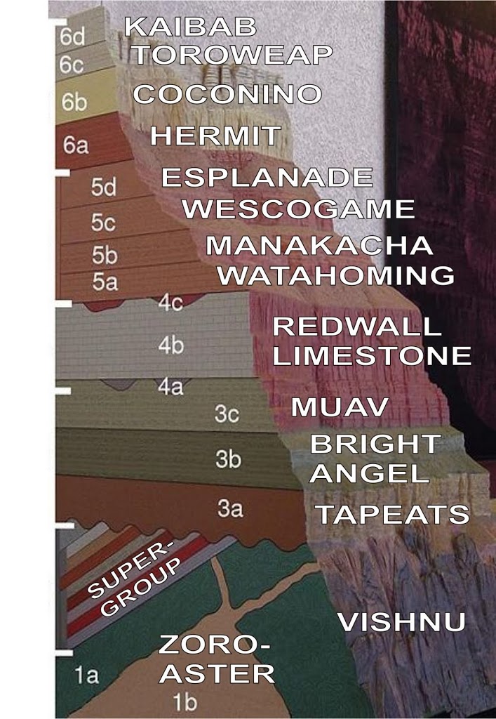
Once a geologist, you sort of always are a geologist. It gets in your brain. I am going down the Grand Canyon next week with a friend who happens to be a Professor of Earth Sciences, and we plan to spend a lot of time cracking rocks and talking stratigraphy. I have already downloaded geologic sections and taken prep notes on the major units, their interpreted settings and anticipated trace fossil assemblages. I do this stuff for fun. However, in an earlier life, I actually did geology for a living, not as a hobby.

 As a geologist, I was member of the Geological Association of Canada, attended several of their meetings, and even presented at one of them (and had my presentation topic expanded into a paper in a special volume of the Canadian Journal of Earth Sciences published by the GAC).
 As a sedimentology student, I also read a whole lot of Andrew Miall. His “Principles of Sedimentary Basin Analysis” is in every sedimentologist’s bookcase, along with a raft of his papers on fluvial sedimentology (the deposits left by rivers). I cited that book and two other Miall papers in my Masters thesis, relying on his descriptions of alluvial fan deposits to interpret some of the facies in my field area, his description of bi-modal clast distributions resulting from traction flows, and his interpretations of peripheral foreland basin deposit sequences. He is a giant on the subject of the geology of terrestrial sedimentary basins, and a petroleum geologist of significance world-wide, not just in Canada.
 So it is remarkably disappointing to read about this year’ Annual GAC meeting, and to see the symposium entitled “Earth Climate: past, present, and future”, chaired by none other than Andrew Miall.
 The subject itself is topical, interesting, and well within the scope of geology (Geologists are the most qualified to interpret historical climate indicators, working with paleontologists, palynologists, isotope geochemists, and other fields that fit loosely under the big tent of Geology- the study of the solid earth.) The problem arrives in the outline for the symposium . Every line of it makes me cringe: 

“The scientific debate about climate change is far from over.”

Lifting this language right from the Climate Denier playbook, it is clear from the opening line the approach that will be taken below. This line pre-supposes that there is a single debate about Climate Change, and by that supposition, the two positions are: A) humans are definitely causing unprecedented changes in the earth’s climate by their burning of carbon-based fossil fuels and the nations of the word need to take immediate and drastic action to reduce atmospheric CO2 or face significant social, environmental and economic consequences; and B) wrong. 

“Some of the projections of climate change and its consequences contained in the 2007 Report of the Intergovernmental Panel on Climate Change (IPCC) have been called into question.”

Ugh. Yes they have. Admittedly, the 2007 report put out by the IPCC got a few things wrong, or failed to fully support a few of the statements within. And there has been a lot of science done since 2007, some of which matches the IPCC projections, some of it that suggests the IPCC projections were pessimistic, and the majority suggesting the IPCC projections underestimated the scale of the problem. But the IPCC report is a single document in a sea of research, and of all the documents, it is the most politically tainted. Why single this one out for discussion in a scientific meeting in 2011?

“This symposium will address some of these issues and present a geological perspective on the scientific debate. “

Good, Geology has lots to say about historic climate conditions. Sounds like an important topic to discuss.

“For example, what is the relative importance of water vapour versus carbon dioxide as a medium of heat retention in the atmosphere?”

Huh!?! H2O vs. CO2 in the atmosphere? How is that a geologic topic? This is simple chemistry and physics, we know H2O is a larger greenhouse gas than CO2, no geology required. The only reason this topic is being brought up is because it is a favourite amongst climate deniers, even after it has been thoroughly debunked. This topic has no relation whatsoever to the “climate debate”, it is a red herring. 

“How important have variations in solar output and in sunspot levels been in determining energy input to the Earth’s atmosphere?”

Huh!?! Is this even a debate? More solar output means more input to the Earth’s atmosphere, the relationship is linear. This is not a debate (and not really a geology topic either, although some geologic methods allow estimation of historic solar output directly or by proxy). Another red herring. Of course, this is not in any way relevant to the current observed warming, but they digress. 

“Is the current global temperature regime now warmer than the Medieval Warm Period or the Holocene Hypsithermal?”

OK, This is an excellent topic for geologic investigation. We should be able to use our multiple lines of geologic evidence (although these events are so recent, it is more pedology than geology) to determine the straight-forward answer to this question. I’m not sure what the relevance is… oh, wait, here it comes….

“This is a significant question, given that many damaging ecological, faunal and weather changes have been predicted based on such warming. Yet Earth and its assemblage of life forms clearly survived these and even earlier exceptionally warm periods.”

Here is where the real intellectual dishonesty comes in. Yep, the Earth survived climate change in the past. Actually, at the end of the Maastrichtian, it survived a pretty big climate disruption. Of course nothing larger than a chicken survived, all the planet’s apex predators were killed, the dominant form of sea life was made extinct, along with 90% of vertebrate species, but hey, the earth and life went on. That said, I don’t think any of us want to experience that type of event in our lifetime.

As for the events he actually cited, the MWP was probably (and I say probably, as there is actually some debate in the mainstream scientific community on this) not warmer than today globally. It was certainly as warm as today in Northern Europe, and certainly cooler than today in regions of the tropical south Pacific, but the global temperature average is not as well established. It is also important to know that start and end of the MWP in northern Europe were gradual events, taking centuries for any change to become apparent, and they nonetheless cause huge disruptions to society, to food supplies, and to the natural environment. The current measured warming is happening at a rate 50-100x that rate. How will we adapt this time? 

“Is it possible that other causes, such as the density and ubiquity of the human presence on Earth, rather than climate change, may be the cause of the observed deterioration in many environmental indicators?”

Huh? Is this a geologic topic? Is this really what a bunch of mineral and petroleum geologists should be studying? And what the hell is implied by the question? That overpopulation and resource use are problems we need to worry about, instead of worrying about climate change? How about we worry about both, and recognize they are both the same freaking problem!

Ok, so Miall wrote a provocative abstract to attract an audience to his symposium. You don’t get to be an eminent Petroleum geologist with out a few sales skills. Luckily, the GAC provides abstracts on-line , so we can look through the actual presentations and pick out the real science here. Should be fun, and I will more in future posts.

But as a satart, let’s look at hte Keynote: Oh, oh. It started bad. I see the Keynote is noted Australian climate denier (and mining geologist) Ian Plimer . Looking at Plimer’s Abstract does not instill confidence. Check out how in the last paragraph, instead of summarizing findngs and speculating on implications, as one is wont to do in a scientific abstract, he uses it to pile up non-sequitor climate denier catch phrases…

“Humans have adapted to live on ice, in mountains, in the desert, in the tropics and at sea level and can adapt to future changes. During interglacials, humans have created wealth; populations grow; glaciation is heralded by famine, starvation, disease, depopulation. Humans, although not the dominant biomass of Earth, have changed the surface of the planet. Pollution kills, CO2 is plant food, H2O vapour is the main greenhouse gas. Climate models throw no new light on climate processes”

 In order, that paragraph can be summarized as:

  • Climate change isn’t a problem, we’ll adapt! (debatable) 
  • Global warming is good! (ridiculous) 
  • People have impacted the planet in many ways! (non-sequitor)
  • Pollution is bad! (generally true, but irrelevant)
  • CO2 is good, so it can’t be pollution! (does the same go for zinc?)
  • Water vapour is the problem! (demonstrably not true)
  • Climate models don’t work! (bullshit. how does he feel about mineral deposit models?

He actually pre-emptively Gish Gallops. Loads on the BS so thick, it would take more than a 40 minute keynote to address how wrong his thinking is.

I will opine more as I get time to go through the other abstracts, but I want to leave with an paraphrased quote I once heard from a paleoclimatologist I know:

“AGW is founded in Physics, all was can don in geology is test it. Unfortunately, every time geology and physics have disagreed in the past, it was always the physics that had it right”

Spring time is Garden Time

The Gardening season is pretty late this year. Although some early plants (lettuce, radishes, carrots) have been in the ground for almost a month, nothing is showing at the surface yet. The only green I have in my garden is last fall’s onions and garlic, and a heck of a lot of chickweed (where does that stuff come from?). But this last weekend was warm and sunny, so much untended garden was now tended to.

We had a lot of well-digested compost, so I spent much of Sunday hauling it out, spreading it, then cutting and raking it in. Fun stuff, but working with well-worn compost is much more pleasant than working with manure, and there is some satisfaction in using the free fertilizer that might have otherwise gone to the curb, not to mention giving the few remaining worms their freedom.
?

? This year we are starting our Cukes, Tomatoes, Zucchini and Peppers inside, instead of buying young plants. Many of the tomatoes are last year’s seeds. We also collected carrot seeds last year, along with fennel and coriander, although we have actually eaten most of the last two…

The spring is also weeding time, as we slowly wage war against the creeping buttercup and blue bells. There are places in our back yard where you turn over the soil and hit a layer about 8” down of solid bulbs. I’m sure the flowers were beautiful at one point, but now they are just voracious, crowd everything else out, and create this non-permeable layer that hurts the yard’s drainage, leading to moss in what is generally really sandy, well-drained storage. Here is The iCandy using an oversized tool for an oversized job.

Some of the weeds are going in the Green Cone. The weather is starting to warm up, and the sun is getting longer in the day, so the cone is getting warm and the digestion has noticeable sped up. The water glass here was hardly boiling, but the fact the Breadwinner would rest her drinking glass on it is proof that the digester doesn’t smell.

A look inside, and you can see the Cone Salad is a not-unhealthy mix of bones, breads, and weeds.

I’m not ready to declare the Green Cone a success or a failure: it seems to me that the material did not digest at the rate I would expect over the winter, we will see if the summer heat helps before I make a decision on this thing. Regardless, all of the bones and breads we have tossed in the last 5 months have gone into this thing, along with quite a few weeds, and we are no-where near full yet, or even over the top of the “basket” level, which is what I would consider functionally full. Jury’s out on the Green Cone, more to come.

I am clearly an amateur at gardening, and I really need to start reading up on it to improve my yields, but the learn-as-you go thing has some appeal. The only part of my garden that I really understand are the rocks in it. Most of them are samples from my Masters thesis, where I mapped some Cretaceous sedimentary rocks on the Gulf Islands. Others are rocks I just picked up in my travels, because they were nice looking, or they had some significance.

Click to Geologic-size

This pic from my front yard has (A) a big hunk of clearly fully-marine upper Comox Formation sandstone with a big oyster fossil in it, from the vicinity of Sidney Island; (B) a smaller piece of Comox where it is it more estuarine or marginal marine, with a well-preserved fern impression, probably 95-odd million years old, from Brethour Island; (D) a big piece of Eocene Cedar Formation basalt or andesite, from Merritt BC, where there were large shield volcanoes around 50 million years ago; and (D) a hunk of ugly Extension formation fosiliferous pebble conglomerate from Piers Island.

But I like this rock even more. It is a piece of sandstone from Sidney Island, Comox Formation, probably 95 Million years old or so. But notice the funny weathering pattern on the surface? Is isn’t only on the surface but runs through the entire rock, and it is a “trace fossil”, referred to as Macaronichnus segregatis. Yes, “segregated macaroni-tubes”. But it isn’t just the fossil name I like, I like this trace because it is diagnostic.

M. segregatis is made by polychete worms, colloquially “bloodworms”, as they sift through the sand on the wet part of the beach, sucking biofilm sustenance off of the quartz and feldspar grains while preferentially avoiding the micas and other dark grains, leaving very faint “tubes” of quartz and feldspar surrounded by micas, which differentially weather and stick out like a sore thumb. Or like a bowl of spaghetti. We can see modern polychetes doing this on beaches today. What is cool about this is that these animals are specialists; they are one of the few animals happy to be living in the high-energy “swash zone” of the beach. So when you find M. segregatis, you always know you have found the fossil beach deposits. That means the rocks conformably above it are always fully marine in a transgressive regime (rising sea levels) or are terrestrial in a regressive regime (falling sea levels). When someone asks a sedimentologist how he knows where the beach was 95 million years ago, he can say “Macaronichnus segregatis, my friend”. If he finds some handy cross-beds nearby, he can even point at which direction the sea was. Presuming, of course, some jerk in the intervening 95 million years hasn’t picked the rock up and used it as a corner piece in his rock garden.

Spring has sprung, and a middle-aged man’s mind turns to geology…

Earthquakes, there and here. – now with extra nuclear reality check

As a geoscientist and someone who works in Richmond, I am hyperaware of the situation in Japan. I was at the curling rink at midnight last Thursday when the news came on the TV. The initial pictures of tsunami waves of debris flowing over farmlands and the shock of seeing entire oil refineries going up in flames was ultimately too harrowing to watch. I had to turn it off and go to bed. The horror on the ground was too real. Roland Emmerlich be damned.

I am in no way an “earthquake expert”, my geology training is more sedimentology and tectonics, with some ichnology thrown in and a bunch of hydrogeology experience. However, during my schooling, I was lucky enough to learn about natural hazards from a couple of the people you have seen and heard on TV and the radio in the last few days (such as John Clague at SFU, who is the go-to academic on this stuff in Vancouver, and was a very busy guy last weekend). I also had seismic course work both theoretical at SFU, and more applied at the University of Hawaii-Hilo, so I would consider myself a well informed non-expert with quite a but of related background. For what that is worth.

An event like the one in Japan will not hit Vancouver in the same way it hit Sendai. The earthquake at Sendai was a very large megathrust , one of the largest quakes ever recorded (currently the USGS has it rated at magnitude 9.0), which occurred at the very shallow depth of 10km, only 100km from the shoreline. On every single scale, that is pretty much the worst case scenario.

We do get “megathrust” quakes off the west coast of BC, and some may even hit this magnitude, but Vancouver (and even Victoria) is not like Sendai. First off, the major thrust fault plate boundary off of Vancouver Island is more than 300km from Vancouver, and more than 200km from Victoria, with the bulk of the Olympic Peninsula and Vancouver Island in the way. Also, there are up to two kilometres of soft Quaternary sediments draped over the subduction zone here, which may soften the blow a bit.

That said, a megathrust will be a bad day here in Vancouver (think magnitude 6.5 quake-type shaking, but lasting for several minutes: up to 15!), but the tsunami risk to Vancouver is relatively small (with a caveat below). The west coast of Vancouver Island will not get off so easy: Tofino, Bamfield, Port Alberni: these places stand a pretty good chance of being wiped out completely. The only real good news for them is that these events are very uncommon, probably about once every 500 to 700 years, so odds are it will not happen in our lifetimes.

Probably a much higher direct risk to Greater Vancouver is presented by much smaller “crustal” earthquakes that may occur very close to the City. These quakes are usually shallow, and if close enough, can cause major damage, although tsunamis are unlikely (with that caveat below). There are unlikely to be much higher than magnitude 7 or 7.2, but the proximity is the issue. These can happen anywhere between Hope and Sooke. This is the difference between Kobe, where most of the destruction was caused by shaking and fire, and Sendai, where most of the damage was by tsunami. Locally, this type of quake is much more likely, and probably has a recurrence interval of less than 100 years in our geographic region.

Oh, can we stop saying “Richter Scale”? No-one has used the Richter Scale for about 20 years. It is the Moment Magnitude Scale now, the difference is small, but quite signficant scientifically.

The tsunami caveat I have to include is that there could be a serious secondary tsunami, caused by a major landslide on the pacific coast (say, Sea-to-Sky area?) displacing a bunch of sea water, or even worse, a major collapse of the unconsolidated sediments off the west end of the Fraser Delta, which could hit the Gulf Islands with a serious tsunami, only to have to reflected back and hit Vancouver proper. Again, this is unlikely, but would be a bad day for everyone involved.

Which brings us to Richmond. I cannot comment for the City, nothing I say here is on behalf of the City. My job in the City is related to water quality and pollution prevention, I am not in the Engineering department, so I am not really in touch with those who do the earthquake planning. The only things I know about earthquake impacts in Richmond is from reading the City’s website on the issue, and a little bit of earthquake info I gained from my own personal research. None of this is official folks, it is just my personal, relatively uninformed position.

However, buildings and dikes are built to the 1:475 standard, which means the intensity expected once every 475 years, so essentially the worst of the “local crustal” quakes anticipated. Some critical infrastructure is built to higher standards yet. Legends of the entire Lulu Island “liquefying” are rather exaggerated. There will be local liquefaction of soils, probably resulting in some road and building damage and maybe some utility failures, but not the widespread destruction some would have you believe. Modern buildings are built with Liquefaction in mind, including piles, rafted foundations, stone columns… engineers, for all I hassle them, do good work.

The dykes, for the most part, should also be fine. Minor slumping in some of the older parts of the dykes is possible, but the internal drainage system of the Island (ditches, sewers, and pumps) can deal with that. Remember, most of Richmond I actually above sea level, unless there is a major freshet on the Fraser and an exceptionally high tide at the exact same time as the earthquake, widespread flooding is extremely unlikely even in the event of a major quake.

If anyone is really concerned about an acknowledged weak link in the Earthquake protection system, maybe ask the Provincial Governement where they are in those School upgrades.

Ask any Emergency Management expert in the province and they will tell you the #1 thing you can do to protect yourself from the inevitable earthquake is to be prepared. Have a 72-hour survival kit , because you shouldn’t anticipate getting any help in the first few days after an event. Another emergency kit (water, food, blanket) for your car, and one for your workplace will give you that extra protection, as you don’t know where you will be when it happens. Finally, plan ahead with your family and loved ones to agree to a place to reunite after the event, as you may not have phones to get in touch. The more eventualities you plan for, the more secure you and your family will be when (not if) the earthquake happens.

One interesting science side of this event was the pattern of earthquakes leading up to the big thrust that caused this disaster. In the days leading up to March 11th, there were several dozen “pre-shocks” of significant size in the area of the main earthquake, even up to magnitude 6.0. The Japanese lead the world in earthquake research (all due respect to the USGS), and this pre-quake pattern will be studied to death. There is hope we will learn more about the pre-cursors for this type of quake. A day’s warning, even 6 hours warning, would mean everything to the people of Tofino or Port Alberni. Compared to the hour or so warning Sendai had between the shaking and the tsunami, it could save thousands of life.

Not that Canada is slacking on this reaserch. The Neptune Project includes a plan to wire the entire Juan de Fuca plate, from the Pacific plate to the subduction zone, with sensitive seismometers to understand the changing stress regime of the plate. This is pretty cool, cutting edge stuff, no less remarkable or technically challenging that putting a probe in orbit around Mercury. It won’t get as much press, or course, unless it actually predicts the Megathrust and saves lives.

Update: as for the nuclear plant issue, the good sciency types at XKCD.com have made this cool chart up to give you an idea what the actual radiation risk is. Chort form: way less relevant than the tens oft housands killed in the tsunami, or the hundresd of thousands now homeless in Japan. Click to make readable.