No, my report for this week’s council meeting is not done. Almost. I need to dot a few “t”s and cross a few “i”s, as it is a long report full of difficult spelling, and Le Tour is on TV. The delay is now extended because I have to spend a bit of time retorting a silly letter to the newspaper.
A relatively well-known local politician wrote to complain that the City’s new Food Truck Bylaw was approved, apparently without his knowledge.
Several parts of this letter were, frankly, baffling. To sum up:
“Why would our city council approve legislation without prior discussion with residents and businesses affected by this bylaw?
It was a year ago when the City first permitted a temporary pilot project to evaluate how Food Trucks may or may not fit in our local context. After a launch of the pilot proved promising, Council asked staff to start public consultations to inform a permitting process and bylaw structure in case the pilot was successful. Both of these stories were well reported by the very newspaper where this incensed letter to the editor was published. As was this update six months later, once the pilot was completed along with the first round of public consultation, and Council had an opportunity to comment on some of the potential policy framework.
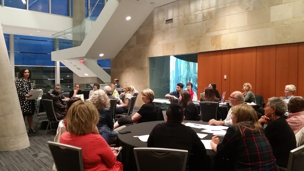
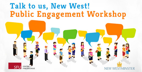
In between these reports, the City launched an on-line survey with more than 450 respondents, including both businesses and residents, and received feedback on what types of restrictions or controls might be appropriate. The survey was advertised at the Pilot Food truck location, in that same familiar newspaper, and posters at City facilities. A City webpage dedicated to the consultation was set up, including a comprehensive FAQ section. The results were put together into a draft set of policies, that were then taken back to the public for another survey, stakeholder meetings and an Open House.
The City mailed out special invitations to the Chamber of Commerce, both BIAs, and the two other neighbourhood business associations,asking that the information be circulated to their members and inviting feedback. A special survey was set up specifically to target brick-and-mortar business owners, and circulated through their associations, and of course advertised in the newspaper, on-line, and through social media. Just to be sure, the City mailed out 2,043 postcards – one to every business address in the City – to seek their input. We even had a stakeholder group of business owners, representing each of the business areas of the City, sit down together for workshops to go through concerns and provide more guidance to the policy documents.
Further, staff evaluated best practices from other communities, in the Lower Mainland and further afield, to determine what has worked and what hasn’t for different jurisdictions, and to identify pitfalls that may arise that were not caught by the Pilot program. They talked to other Cities, and to food service companies, and used that input to develop detailed policy documents.
Staff then held a heavily-advertised Community Open House, even providing a couple of food trucks at the Anvil Centre location to give people a first-hand look at what the program would offer. The City partnered with journalism students from Langara and Douglas Colleges to create media pieces and social media buzz to attract people to take part in the Open house and the larger consultation process.
Through this entire process, staff kept Council (and the public) informed through public reports on July 13, 2015 (where the Pilot program was described), January 11, 2016 (where the first survey and consultation reports were outlined), April 18, 2016, (where the second phase of consultation and open house were reported out), and May 30, 2016, where the Draft Bylaw was given two readings, and the Public Hearing was formally announced for one month hence. (I won’t mention the Reports to the Land Use and Planning Committee on September 14 and December 7, 2015, because although they are publically posted and open to the public, few bother to attend. Further, they only recommend to Council, they don’t make decisions).
Now, go back up and read that quote. Any reasonable person would have to conclude we had “prior discussion with residents and businesses”. But there’s more:
“I believe that this decision is dictatorial and totally opposed to open governance and transparency. When a zoning bylaw change is to be considered, all property owners within a specific distance of the project property need to be informed of the pending bylaw changes and when the matter will be brought before council.
“As well, anyone who feels that they are impacted by the change is allowed to express their opinions before council prior to a vote on the bylaw change.
“I believe that this new bylaw did not receive the same consideration and therefore should be struck down until it is brought before all those taxpayers who are directly affected by its passage.”
Actually, after the year of public consultation listed above, this Bylaw went to Public Hearing, much the same process as any rezoning would. It isn’t actually a rezoning, and that level review was probably not strictly required by legislation, but the City did it anyway, because the City is demonstrably committed to open governance and transparency.
I am proud of the high standard we set for consultation in New West, but at some point we need to stop talking and start acting on the results of that consultation. If in 6 months this idea proves to not work out, if our business community tells us that some parts of the new policy just don’t work, Council is free to adapt or rescind the Bylaw and go back to the original restrictions. Some people fear innovation, but I think we need to take a few well-considered chances to continue to improve the activity of our streets, which is a great way to support our business community. We can’t be held back by uninformed cynicism.
“The people of our community should determine where in the community we would prefer to locate the operation of food trucks, not city staff, many of whom do not live in our community”
I need to reiterate: This was a process first driven by the elected City Council (we directed staff to put together a consultation process, then to draft a Bylaw that would allow Food Trucks to operate), then modified after repeated consultations with the residents and businesses of the City. There was a Pilot Project, supported by a business in the City. There was a planning session where businesses in the City were invited to provide input into what elements of a Bylaw ere needed, and where appropriate locations for food Trucks would be. We had a Public Hearing where all of two people came to talk to the Bylaw, both residents and business owners, and both spoke in favour of Food Trucks. We received no negative feedback in that Public Hearing, which tells me City Staff did a pretty great job covering their bases.
Our staff busted their asses to put together a Bylaw package that satisfied Council’s desire to support Food Trucks in our Commercial areas, and addressed concerns and ideas raised by the residents and businesses in this City over more than a year of consultation. At no step was this a staff-driven process. The letter writer’s inappropriate an uninformed attempt to belittle or dismiss the work they did, and his implication that they were indifferent to community feedback, is disconnected from reality.
On a positive note, this provides me one more opportunity to link to this remarkably apropos opinion piece by Stephen Quinn, which is a much better retort to this letter than I could ever pen.
 With a fair smattering of this: