I really wanted to write an in-depth piece on the TransLink Funding Referendum; a withering piece using phrases like “abhorrent abdication of accountability” and “irresponsible idiocy that threatens the livability of the region”, but I realized there has already been a ton of good stuff written on this issue.
So before wading through MY diatribe below, why not see what noted Bridge-and-Freeway advocates like Mayor Diane Watts and Mayor Richard Stewart have to say on the subject. Or you can follow the writings of the leading thinkers on regional development, like Gordon Price, or Stephen Rees. Or how about the dirty hippies at Business in Vancouver? It seems no-one outside of the Premier’s office (and it’s PR wing at the Vancouver Sun) think this is a good idea. Even the new Minister of Transportation seems to skirt around the issue.
The Referendum is a bad idea, and perhaps the best way to explain how bad and idea is to take a (supposedly) thought-out and argued case FOR the referendum, and disassemble it. Please forgive me if I stray towards a Strawman fallacy here, but I am not making up a preposterously weak pro-referendum case here, I am just relating one that appeared in one of the PostMedia Papers of Note. If you hear a better argument for the referendum than the one I critique below, please send it to me, so I can tear that one apart as well.
I present to you, Province “Metro View” columnist Jon Ferry:
I’m no huge fan of referendums to resolve major public-policy issues, any more than I’m of penalty shootouts to decide hockey or soccer games.
Why are you not a fan of referenda? Perhaps you can expand this, because the 490 words following your initial expression of dislike seems to argue that referenda are a good idea, even for complex issues. If you hate them, why are you advocating for one? This sentence makes the rest of the discussion sound like one of those rants your drunk uncle goes off on that starts with “I don’t want to be racist, but…”
But they have their place, especially when an issue gets so tied up in political knots that a direct appeal to the people in a simple, take-it-or-leave-it vote is the only way to disentangle it.
But this cannot possibly be a simple take-it-or-leave it vote, can it? If that is what you are proposing, a question that says: “Do we want to raise your taxes through ‘X’ to pay for a subway to UBC and buses to White Rock and fancy offices for TransLink bureaucrats who couldn’t plan their way out of a wet paper bag? Or not? ” then we all know it doesn’t matter what the ‘X’ is: it will fail. We all know this is how any request for more tax money from any source will be framed by the Vancouver Province and Sun other car-dependant media. I hardly exaggerate, as you can see that narrative is already being drawn.
Then we will all be here in the same place 16 months from now, wondering why Skytrain keeps breaking down and why busses are passing people by on the curb, with no plan to deal with it and no new revenue source. If anyone can imagine a simple yes-no referendum question to which the majority of voters will say “Yes” and which will also lead to TransLink being funded adequately to meet the Transport 2040 goals, then I have not yet heard it expressed. The referendum will not untangle any political knots, it will only tighten the string for another two years and drag TransLink failures into the Municipal election cycle, pitching “Pro-Tax Mayors” against “Anti-Tax Mayors”.
That’s why I think the Christy Clark government must not bow to the wishes of the Metro Vancouver mayors and must refuse to renege on its election pledge to hold a referendum on possible “sources of new funding” for TransLink.
Right. Why should the Premier show any leadership at all, or even work together with the Mayors in an honest discussion of the issue without the side-show of a doomed referendum? The TransLink Board is her baby – it came with the job – so unless she is willing to turn TransLink back over to the Mayors to run, she should start thinking about how she is going to pay for it, and take the plunge. It is the willingness of Victoria to make random and ill-advised decisions regarding TransLink (FalconGates, the terrible Golden Ears Bridge deal, endlessly delaying Evergreen) that has put TransLink in its current financial bind. Now the Premier wants to continue to run TransLink from Victoria, but get the Mayors to pay for it so she doesn’t have to raise any taxes. The Mayors are right to tell her to get bent.
I believe that the mayors are being downright patronizing when they say the topic is too complicated for voters in their area to decide upon.
Look- referenda have their place, but this is not it.
I think referenda should be reserved for significant changes to government structure (e.g. changing the Constitution) or questions where our “social norms” are being evaluated (e.g. the legalization of marijuana). Where they should never be used is when the question is one of the rights of a minority (e.g. same-sex marriage equality or the stunningly inept BC Aboriginal Treaty Referendum of 2002).
I would include tax policy as a third subject that should never go to referendum. (see discussion of HST referendum below). Ultimately, revenue generation and spending is what we hire a Government to do, it is the core of the budget every year, and in a place like BC where the government rarely sits in a legislature, it is almost the only thing a government does. There is a referendum on their tax policy, and it is held every 4 years. It is bad governance to parse out one small part of tax policy and put it up for referendum, because you cannot forecast spending or growth, you cannot even frame a balanced budget, unless the results of the referendum are pre-determined. Which, in this case, it will be, So why go through the exercise?
They’re also being alarmist in claiming a defeat by taxpayers of new “sustainable funding” — meaning new taxes — would doom metro to a stagnant transit system.
Alarmist? How is pointing out the obvious negative consequences of delaying, yet again for another year or two, investment in public Transportation being “alarmist”? If you do not think the current funding crisis is hurting the current system, you have not tried to catch a 99 B-line or been on a westbound SkyTrain at 8:00am or had to make last-minute changes to your plans because “switching problems” scuttled the morning Skytrain Commute for the third time in a week.
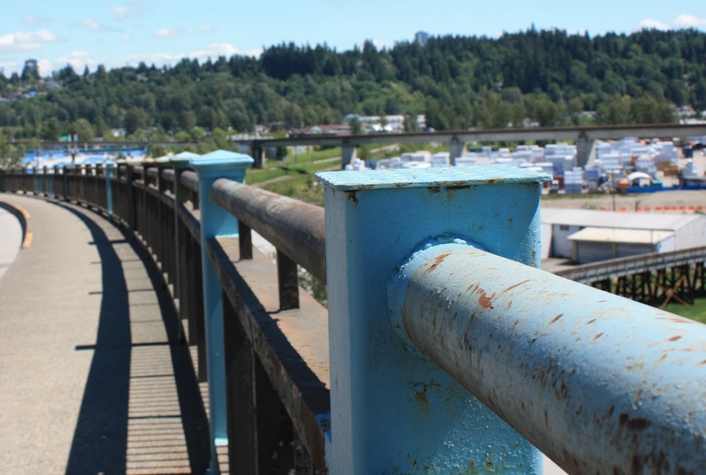
A “stagnant Transit system” is, at this point, not “alarmist”, but an optimistic dream. In the last year, TransLink has not only been unable to move ahead on expansion plans (other than the Evergreen Line, which is finally seeing construction after more than 20 years in delays, mostly due to money committed years ago), they have actually cut bus routes to growing communities. Queensborough, Coquitlam, Maple Ridge- these areas are seeing bus service reduced, even as their population and density increases. The system is shrinking, squeezed of dollars at the same time that Billions are spent on new freeways and bridges. As service becomes less reliable, people will stop relying on it, and will instead avail themselves of all those new roads and bridges, increasing congestion, increasing GHG impacts, increasing roadbuilding costs and maintenance, making our communities noisier, less safe, more crowded, and more polluted. This will cut TransLink off from what has become its most stable form of income- fares. Indeed, with no more money inputs, the system will not stay stagnant- it will fail.
Now, I disagreed with scrapping the HST. But I think Victoria was right to put it to a referendum in 2011, if only to clear the air.
OK, let’s nip this comparison in the bud. Victoria was forced to put the HST to a referendum, they didn’t decide to – they had no choice! This was an example of a bad policy choice being made by the populace in a referendum, simply because the word “tax” was attached the wrong side of the story. This actually makes the case for the “patronizing” position of the Mayors.
What should have happened with the HST is the Government of Gordon Campbell should have been honest with the populace, introduced and explained the HST to the public, and sold them on the merits of the tax over the old system. They should have done this a year before the provincial election when they started negotiations with the Feds, not just introduce it with little warning a month after an election. The referendum campaign and overturning of the HST was a reaction to a dishonest and cowardly government, not a bad tax. Any policy discussion where Bill Vander Zalm is seen as the voice of reason is a clear sign governance has gone off the rails. The conversation during the referendum was distorted into an anti-Gordon Campbell plebiscite and the result was a bad decision made for the wrong reasons.
And I think a fairly worded referendum on raising, or not raising, new tax money for metro area transit would do the same.
Really. You honestly think if during a Municipal election, the government asks the Taxpayers of the region if they want to pay more taxes to build a subway for UBC students and bike racks for buses (because, mark my words, that is the level of discourse we will end up having around this referendum) that there is any chance of more than 35% of them voting yes? What planet are you sending your dispatch from? Please, Mr. Ferry, or anyone, show me a question that will result in a properly funded regional transportation system. I dare you.
The Mayors Council on Regional Transportation voted June 19 to formally oppose such a referendum, planned for the fall of next year, saying “making complex policy by referendums is contrary to principles of good governance.”
Of course, no-one ever accused Christy Clark of good governance. She can sure campaign, but so far her governance skills are as suspect as her driving. This is why, when she is stuck in a corner here and needs to display some governance skills, she is choosing instead to make a “campaign” of it. She will turn the entire conversation about the future of the region into one of those he-says/she-says confrontational radio call-in shows that were her specialty. The conversation will not invest deeply in fact, established principles of regional or transportation planning, systems science, or any of the complex ideas that make up a complex infrastructure strategy. It will be quips and “ya know’s” and pandering to the voter about what is “important to families” and gotcha moments. There is no risk of good governance arising from this.
What pompous nonsense. The public makes great decisions on complex issues at the ballot box, even if the politicians they elect aren’t always the brightest of the bunch.
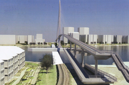
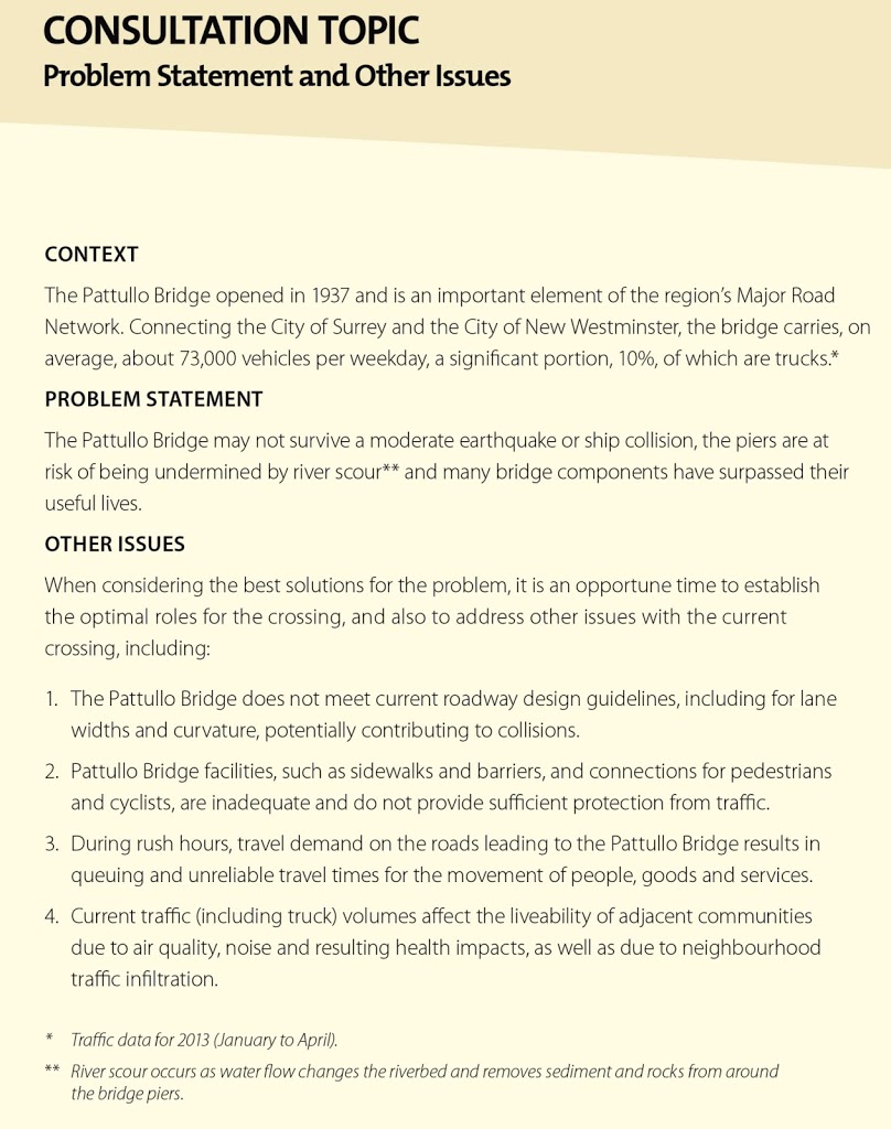
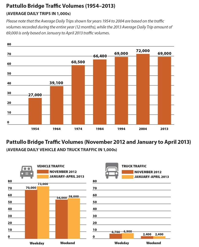
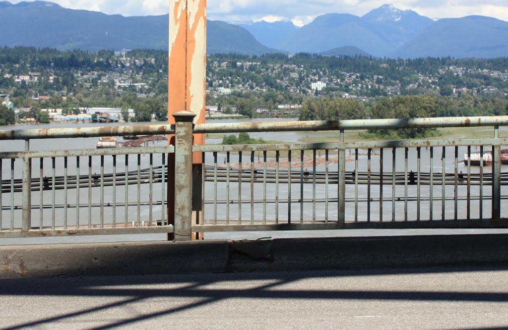
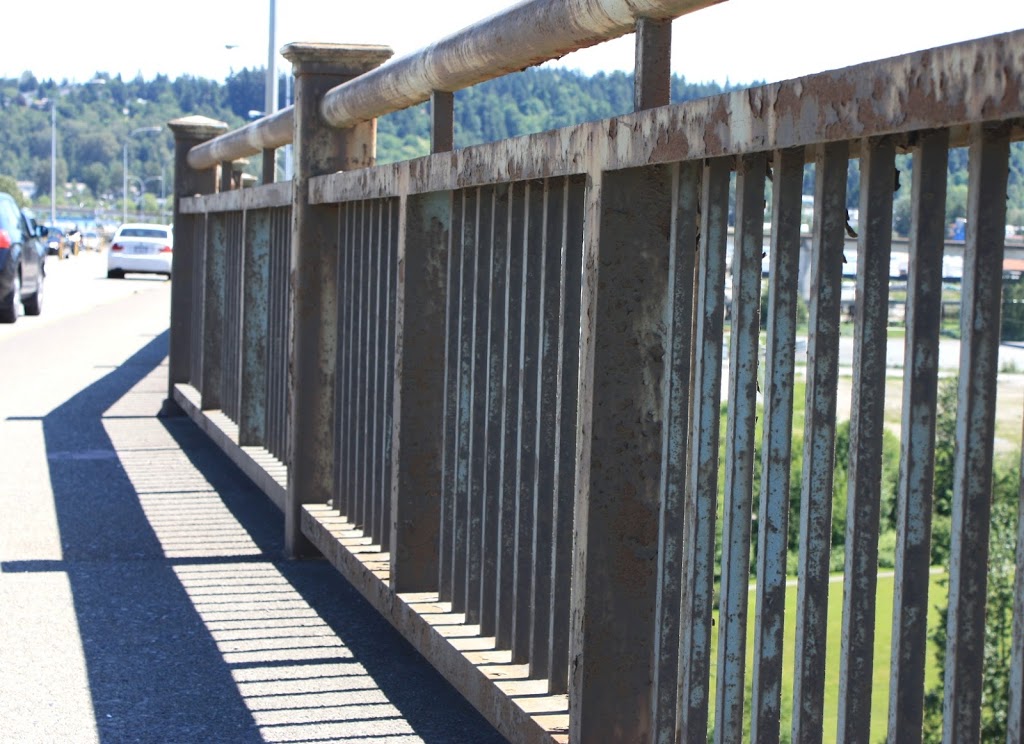
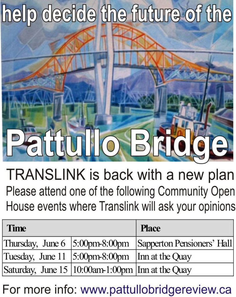
(I’ll leave aside the fact you just said you disagree with the results of the last referendum) Following your reasoning, what decision should NOT be made by Referendum? I never got to vote on the $5 Billion spent on Gateway freeway projects (the SFPR, Port Mann2, Highway 1 expansion, etc). I never got to vote on a $500 Million roof for a football stadium. I never got to vote on the Billions spent on the Olympics. I am not being offered a vote on the replacement for the Pattullo Bridge, or the Massey Tunnel, or on the Kinder Morgan Pipeline expansion. I cannot even vote on the betting of our entire province’s economy on building a half-dozen LNG plants. If the single largest industrial investment ever in the Province, one that will radically restructure the BC economy while contributing multiples of our current GHG output to the atmosphere isn’t worthy of referendum, if no other transportation infrastructure investment in the history of the Province has ever needed a referendum, If BC Ferries rate increases, BC Hydro Rates, Carbon Tax increases, run-of-the-river hydro expansion, the sale of our Provincial assets, if none of these can be trusted to referenda, why this one little local transportation authority held to a different standard?
No, the big problem with the provision of public transportation in our region of 24 local authorities is that those supposed to be piloting it get so paralyzed by indecision they don’t seem to know whether they’re coming or going.
So fallacious an argument that it isn’t even wrong. TransLink knows exactly where it needs to go. Transport 2040, knows the funding it needs, knows what is available to it and what isn’t. The Mayors are also on side, as is the regional government. The direction forward is clear. Planning- knowing whether they are coming or going- is not TransLink’s problem. Political interference that drops in just long enough to muck up the the business plan, then steps back to avoid accountability is the Problem. The only people who paralysed with indecision on TransLink have been completely ineffectual Ministers of Transportation Blair Lekstrom and Mary Polak. Kevin Falcon, when he was in the role, made bad decisions that are still costing us, but at least he made decisions.
Part of the reason for this is the awkward/awful governance structure of TransLink. There’s also confusion about whether TransLink is a bus firm, rail company or simply another Vision-style bicycle-promotion scheme. Or is it an agency genuinely serving the travelling public?
I cannot believe one the major newspapers in Vancouver could have a “Metro View” writer express such a stunning ignorance of the largest single issue in the region today. No wonder Postmedia’s ship is sinking. TransLink is a regional transportation authority, responsible for a “bus firm”, three distinct “rail companies”, a transit ferry, three bridges and the entire Major road Network (>1,000km of roads used by cars every day!), and, yes, indeed, last year they spent 0.2% of their budget on bicycle infrastructure to further the Great Socialist Cycling Agenda. In every aspect of the above, they are serving the travelling public (even those who dare travel on bicycles!). They move hundreds of thousands of people every day – it is virtually impossible to move in the City without interacting with one of thier assets, and are one of the most cost-efficient transportation authorities in North America. If Mr. Ferry is confused about TransLink’s role, he should start reading, or get a new job far, far away from the “Metro View” file. Maybe you can parlay your talents into full time Climate-Change denial, as you only seem to dabble in it these days, and that stuff can really pay off.
B.C.’s new transportation minister, Todd Stone, confirms there’ll be a referendum on possible new TransLink funding sources, but the wording of the question to be asked voters still has to be decided. He says discussing this with the metro mayors is one of his top priorities. How TransLink is governed will also be addressed.
Wait- maybe there is some promise here. Why not have a referendum just on the governance? Because we all agree – the taxpayer, the Mayors, and now even the Minister of Transportation, that this is the problem with TransLink. Simple question: Who should run TransLink, a Council of Mayors that the voters get to vote for, or an unaccountable board of Political appointees chosen by the Premier?
“We have committed to having the governance worked out and agreed upon in time for the spring sitting of the legislature in 2014,” Stone told me.
Worked out and Agreed upon might be two different things. It is clear the Mayors are not going along with this referendum plan, if if that is the case, will the Minister forge ahead without their consent? And just who is paying for the Referendum? Who is financing the “yes” and “no” campaigns? Will the referendum only be regional, or will people in Fort St. John get to decide if their Provincial Income Tax or Carbon Tax are used in Greater Vancouver to build bike paths to avail Hipsters of their Latte?
Vancouver city Coun. George Affleck says he doesn’t really like referendums, but the metro mayors should stop being in denial about the Clark government’s obvious commitment to one. Affleck, of the Non-Partisan Association, also believes there’s “an appetite in the region for people to start to pay a bit more for transit infrastructure.”
At the risk of repeating myself: Please, Mr. Affleck, show me a question that will result in a properly funded regional transportation system. I dare you. And if only the people in the region are voting, that pretty much takes the Provincial government off the hook, doesn’t it? If the Province is off the hook, can you ate least admit they should then disband the Victoria-appointed board and put TransLink back under regional control?
I’m not so sure about that. But I look forward to finding out about it in a referendum. So far, the alternatives haven’t exactly worked out.
OK- here it is. Mr. Ferry admits he thinks the referendum will fail. So the only alternative he thinks will work is the one that he knows won’t work. Great analysis there Mr. Ferry. That sound you hear is my slow, ironic clapping.