This is part 2 on my reporting out on what I did at the 2017 UBCM conference. Part 1 is here.
Tuesday, September 26, was the first day of the UBCM 2017 conference, and it started early for me with the British Columbia Municipal Climate Leadership Council breakfast. This is an annual opportunity to sit down with the Council members and provincial leaders (those laser-eyed folks pictured above) to share good news about what local governments are doing, and to find opportunities for partnerships across communities and with senior governments to meet the Province’s climate goals.
For my part, I was able to talk briefly about how our new OCP integrates climate change mitigation and adaptation, about developing plans for our District Energy Utility, about the Urban Solar Garden Project and the small research project we are working on with BCIT to expand curb-side EV charging opportunities. I also heard about similar things in other communities, and from the province about their plans to renew the Climate Leadership Team and a commitment to a renewed Climate Action Charter that was the source of much criticism at this same meeting a year ago. Again, much to feel optimistic about, but still early days of policy development for the new Government.
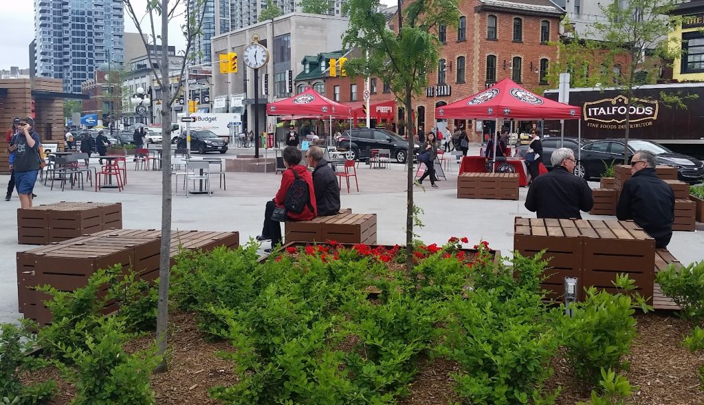
This was followed by the Community Forums part of the Convention. These are semi-plenary sessions where we are divided up into small, medium, and large communities. At 70,000+ residents, New Westminster is part of the Large Urban Communities forum.
The session began with a panel on Transportation, Moving Commuters in Today’s Urban Environment. Councillor Kerry Jang from Vancouver chaired a panel consisting of Dr. Anthony Perl from SFU’s Urban Studies Program, and the CEOs of both TransLink and BC Transit. (yes, another all-male panel).
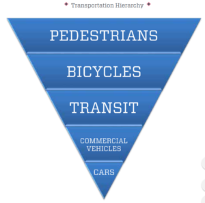
Dr. Perl started by showing a series of automobile ads with the same theme: “Buy Now, Pay later!”, and contrasted that with how we market transportation investment – we always ask for a new tax or other funding sources, on the promise that some new service will come later. No wonder we lose referendums. Aside from this, his main message seemed to be that we need to stop thinking more transportation spending means better transportation, when we need better transportation spending.
MORE ≠ BETTER. BETTER = BETTER.
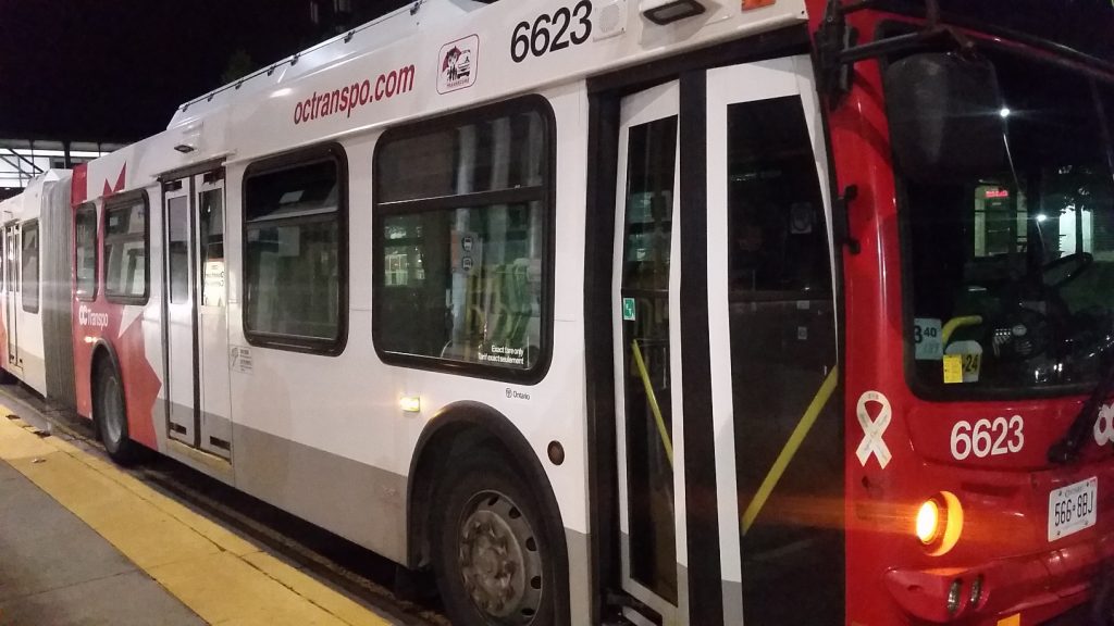
This was followed by TransLink CEO Kevin Desmond essentially saying that TransLink is doing better, at least in passenger counts. Ridership on the system was up 4.5% in 2016, and is up 6.1% so far in 2017, which is *way* faster than growth being observed in other urban areas around North America. This after a period starting in 2010 when service hours per capita and rides per capita was actually dropping. Some of this turn-around is due to the sometimes painful route optimization process that saw service hours cut but more emphasis on higher-ridership routes. However, more of it may be related to the Compass Card, and changing the way people pay for Transit use.
For anyone who took SkyTrain to and from the conference like I did every day, this measureable surge in ridership is not a surprise, nor is it making the system more comfortable, and Desmond was quick point out that managing overcrowding is now a priority, both in improving SkyTrain service and in the larger projects like Broadway SkyTrain. As is typical of any Desmond conversation about TransLink, he finished by reminding us that we need to start planning past the current Mayor’s Council 10-year plan, and have a serious discussion about mobility pricing as a stable capital funding source.
Manuel Achadinha , the CEO of BC Transit, is less familiar to those of us living in the TransLink service area, but BC Transit provides service to Vancouver Island, the Fraser Valley, and the vast interior of the province, where most communities with more than 10,000 residents have some level of public transit service. His talk was mostly on the topic of using technology to collect transit data, and to make service better. Ultimately, what Transit users really want is Frequency and Reliability – technology cannot replace these, but can make them more achievable.
During the Q&A session, there were questions about integrating service and technology between BC Transit and TransLink, and from the answers, it sounded like this was not on anyone’s workplan. Local Government representatives from Fraser Valley communities and the Sea-to-Sky corridor are anxious to see some better integration happen. Connecting Squamish and Whistler to TransLink’s core service area, and inter-community connections between Greater Vancouver and growing Fraser Valley town centres like Abbotsford and Chilliwack seems to be on neither agencies’ radar, but will be a major topic for the Lower Mainland Local Government Association this year.
The Panel wrapped with a short presentation from Selena Robinson, the new Minister of Municipal Affairs and Housing (and Minister responsible for Translink). Again, she had little new policy to announce, and it was clear she was the most-in-demand Minister at UBCM. However, she did reiterate her and her Government’s support for the Mayor’s Council 10-Year Plan, and to providing the promised 40% funding for every phase of the plan.
The second half of the Forum was a Panel called BC Kids – Changing Demographics and Needs of Urban Families with Dr. Bonnie Henry, Deputy Provincial Health Officer, Sharon Gregson of the Coalition of Child Care Advocates, Chris Bone from the City of Prince George, and the Minister of State for Child Care Katrina Chen. (Hey! An all-female Panel!)
Dr. Henry tweaked us to some demographics and trends in BC in relation to children. They are 20% of BCs population, up to 25% in some communities. But it was her deeper dive into how health indicators vary across the province that show some of the geographic gaps in health services for youth. A comprehensive ongoing survey of children’s health is compiled at ChildHealthIndicatorsBC.ca.
Gregson provided the background behind the 10aDay.ca campaign to bring affordable accessible childcare to British Columbia. This research provided the basis for the new Government’s Child Care Plan – a solution that is much more complex than the speaking points commonly heard during the Election. The current situation is dire – there are 364,000 mothers in the workforce in the Province, with 570,000 children between the ages of 0-12, but there are currently fewer than 106,000 licensed day care spaces. It costs too much to put a child in daycare or many working parents, yet most daycare workers are not paid enough to put their own children in daycare. The system, if that’s what you call the current situation, isn’t working.
Fixing this situation will require more spaces to be built, and it will mean training a new generation of daycare workers. It also means setting up a structure to administer both a fair payment system ($10 a day is a catchy slogan, but in reality the cost would be adapted according to a family’s income and the type of care needed) and a fair wage system to build the professionalism of child care.
The promise is there, the delivery will take time. This is starting to sound like a theme.
Finally, I attended an afternoon policy session on the Water Sustainability Act that unfortunately missed the mark somewhat. The presenters were from the two Ministries responsible for the WSA (Environment and FLNRO), and were clearly highly knowledgeable about the topic, but I felt they didn’t really understand who their audience was, or what information about the WSA as actually valuable to Local Government elected types.
The WSA came into force more than a year ago, but there has been a notable paucity of policy and regulation development to support the goals of the WSA, especially as it relates to the empowerment of (or downloading to?) Local Governments with the ability to develop Water Management Plans and better manage the protection of community water assets. This is not news. People working in environmental protection have been patiently waiting for the WSA to be put to practice, and aside from new regulation around well drilling, the wait goes on.


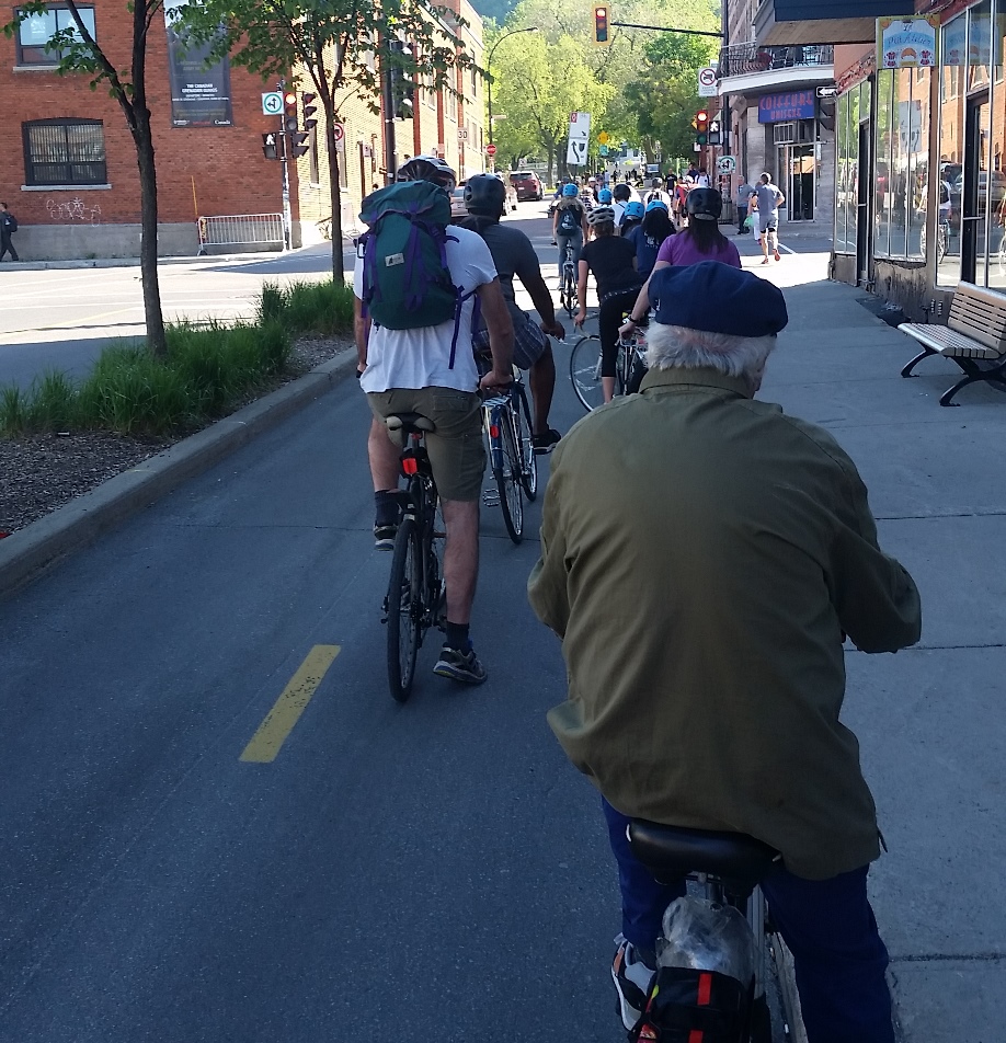
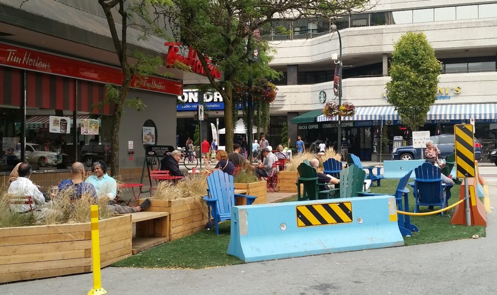
 The Crosstown Greenway improvements are very small part of our transportation budget (less than 3% of this year’s budget for road improvements), and has numerous potential benefits to the community at large. As the City’s first foray into modern separated bikeway design, it may have a few kinks to work out, and it may take a bit of time for drivers to get their head around the new layout, but it is based on
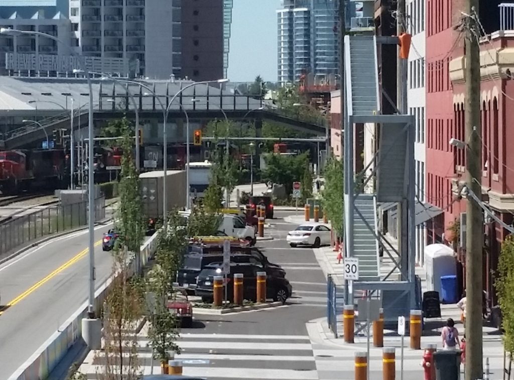
 My first reaction was to think that a fire escape, by its very nature, would be used by a half-dozen people only once, if at all. This structure looks like it was engineered to facilitate the boarding of troops onto naval vessels. However, I am told that modern fire access standards for commercial buildings expect that well-equipped firefighters will use the stairs, and carry large things up and down them with some significant urgency. The stairs are also expected to remain standing after a seismic event that no ~100-year-old heritage building was built to sustain. So it is bigger, stronger, and with a much more substantial foundation than the stairs going (for example) up to the back deck in my house. It is also a modular design that can be picked up and moved, as it was recognized at the time as a “temporary” structure, which can be utilized elsewhere if ever major renovations to the ~100-year-old heritage building make the stairway’s presence on Front Street no longer necessary. Put these factors together, and the design, fabrication and installation costs are more than my aforementioned deck stairs.