I have been a little busy of late, sorry to be not updating this blog as often as I would like. It’s not like there aren’t many things going on, just too many to write about them in full!
I do want to make mention of the well-attended (even crowded) Open House last week at City Hall. The topic was proposed changes to the City’s truck routes maps. This comes on the heels of two related media storms. Well, media dust devils at least.
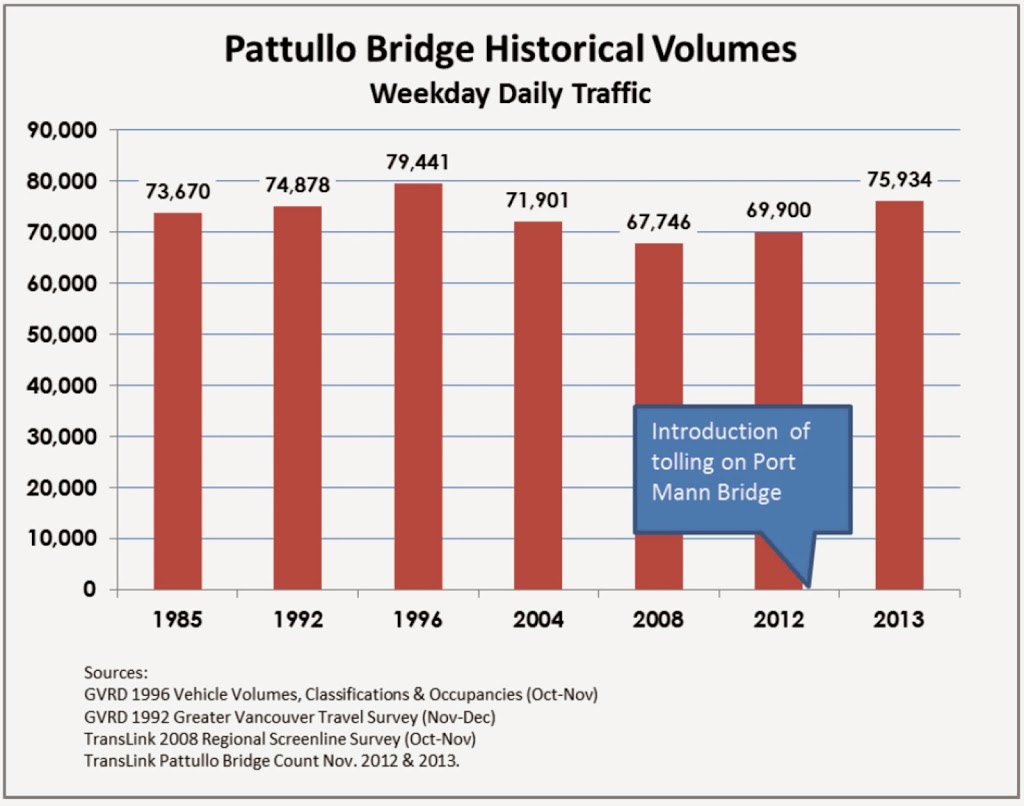
First was the release of preliminary traffic count data that shows a spike in vehicle traffic through New Westminster concomitant with the tolling of the Port Mann Bridge. That this is happening was a surprise to no-one who lives or works in New Westminster, but the Ministry of Transportation at first suggested it was just our imagination. Then the Minister suggested that increased traffic was a result of a boom in the economy. This lead to the unintentionally hilarious suggestion that New Westminster’s economy must have grown by 10% over the last year, for the increase of traffic we are seeing.
That the Ministry of Transportation finds it surprising that people are avoiding tolls should concern all of us. Not only does this reflect the findings of transportation engineers world-wide, the same Ministry of Transportation went so far as to install signs instructing people on the best way to avoid tolls, and have established a policy that assures toll avoidance will always be an option.
The second part of this story is the increased voice of individual people in New Westminster who are being impacted by this increase in traffic- especially the impact of increased commercial truck traffic. A Facebook campaign called “Rattled about Traffic” has grown out of Queens Park, and the topic of the increased traffic is being discussed at the Queens Park, Brow of the Hill, Massey Victory Heights, Downtown and Glenbrooke North Residents’ Association meetings over the previous month.
Always a little punchy about traffic (being a City inundated by vehicles that have no origin or destination here), New West is once again getting loud about the issue.
The overall-traffic-volume half of this equation is going to come up during Pattullo Bridge consultations starting next week, but I want to address today’s pressing issue: the open house that hoped to address the too-many-trucks side of the equation.
The changes proposed by the City are very modest. They comprise the removal of truck route designation from three stretches that are currently only truck routes between 7am and 9pm): the length of Royal Avenue; East Columbia Street through Sapperton; 8th Avenue between East Columbia and Braid; and an appendix-like extension at the east end of Ewen Ave in Queensborough. The other truck routes around the periphery of the City will remain intact.
Here is a before-and-after map of the changes:
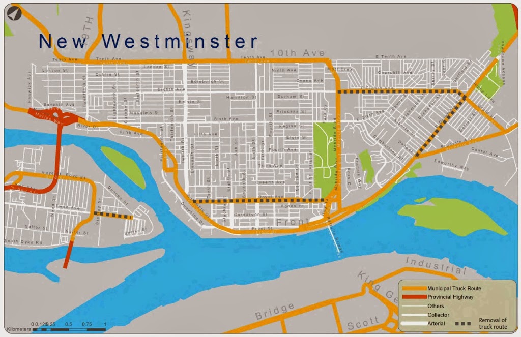 |
| Click to make bigger. Orange are designated Truck Routes today, and dotted lines are the routes proposed for removal from the designation. |
The biggest effect of these changes is not visible on the map, but will be in truck access to the Pattullo Bridge.
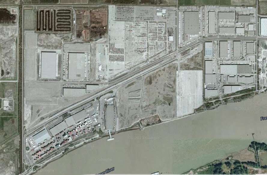
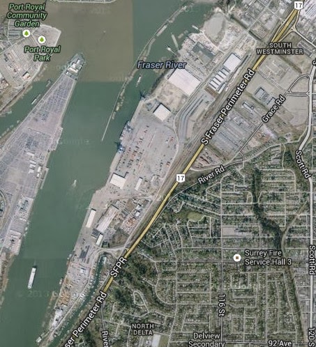
East-bound vehicles from Stewardson will simply no longer be able to access the Pattullo. These vehicles will now be required to use the Queensborough Bridge (presuming, of course, that they didn’t come from there) and the Alex Fraser to access the new South Fraser Perimeter Road to get to the Bridgeview area of Surrey (which was the rationale for building the SFPR in the first place). Alternately, trucks from Marine Drive can access the Pattullo by using Southridge Drive, 10th Avenue, and McBride, although modeling and surveys by the City suggest this would not become the preferred route.
Vehicles arriving westbound from Highway 1 or Lougheed would only be able to access the Pattullo via Columbia and the loop in Albert Crescent Park. That loop is currently closed during rush hour due to congestion and safety issues where it merges with traffic on the north foot of the Pattullo (although the City has agreed to work with TransLink to address this issue). This connection could be avoided by sending the eastbound trucks to Front Street and the Queensborough, and westbound trucks to the Port Mann (a connection made much easier if, as Councilor Puchmayr is apt to point out, the Ministry had thought to connect the SFPR to the Port Mann).
Similarly, trucks entering the City from the Pattullo will be limited to travelling north on McBride or turning east on Columbia. They would need to use an alternate route to get to Marine Drive east of New Westminster: the SFPR-Alex Fraser-Queensbrorough route, or the McBride-10th Ave-Southridge Drive Route.
Note this important point: these changes will make no difference to anyone delivering or picking up goods in New Westminster: the proverbial “head of lettuce in Safeway” that the trucking industry always talks about. Trucks having legitimate business in New Westminster have always, and will continue to, use non-truck routes like 6th Street and 12th Street, and will continue to be able to use Royal Ave to bring your lettuce to one of the 17 Save-on-Foods outlets planned for New Westminster. For a similar reason the changes on Ewen Ave. will make no difference to anyone, as that vestigial truck route isn’t a “through route” to anywhere, but just provides access to a few businesses from Derwent Way.
Overall, this looks good. It reduces the impact on the Sapperton business district, and improves safety and livability on residential portions of 8th Ave and Royal. It should also reduce the incentive for some truckers to use to the Pattullo in an effort to avoid tolls, sticking more of them on the SFPR or the expanded Highway 1 where they should be.
If you support these changes, it is important that you let City Council know. THIS WEEK. There is a reason they are gauging public support at this time.
The process to remove trucks routes is a bit complicated, the City can’t just go out there and slap up some signs. They have to apply to TransLink to have the designation removed. Since TransLink is charged with the responsibility of regional goods movement, they have a say on what is and is not a Truck Route. In exchange for allowing truck routes on City owned streets, TransLink provides road maintenance funding through the “Major Road Network”. This $100 Million expense is one of those things TransLink does that few seem to notice when all this talk of a “Transit Referendum” takes place.
So when the City goes to TransLink to explain why Truck Route designation should be removed from these routes, as minor as they are, they will need to provide a rationale, expressions of public support, and some detailed modelling of the impact on the entire transportation network. It isn’t a slam dunk, so the City could use a healthy amount of feedback from the citizens impacted by these routes to bolster their case.
You have to Friday to go to the City site and provide your feedback to the City. You can do it all on-line.
See the entire Presentation here.
Then go Here and fill out the survey.
Go. Now.