BillB asks—
If my reading of the City of New West website is correct, the Floodplain Management Strategy – Feasibility Plan is 10 years old. It also says that the City prepares for the possibility of flooding on “an annual basis”. In the light of recent floods in the area, and climate change at large, should New Westminster be doing more to prepare and prevent the likelihood of flooding?
The short answer is probably yes, in that recent events from the Heat Dome to the Fraser Valley flooding has demonstrated that there are gaps in local and regional emergency response schemes, and it might be worth a pretty comprehensive review. But I’m going to put that larger “emergency management” part aside here, because you asked specifically about flooding. I think we are in pretty good shape for the *likely* flood scenarios in the near future, but it gets murkier the further out we look.
As a caveat, I’m a geologist and physical geographer by academic training, but I am not an engineer. That means I know a little too much about the physical causes and mechanics of flooding (I can wax eloquently about Reynolds Number or identifying back-basin deposits in the rock record) but not quite enough about the engineering practice of managing floods. So nothing below here should be thought of as engineering advice or advanced engineering knowledge. You gotta pay somebody with a P.Eng. for that.
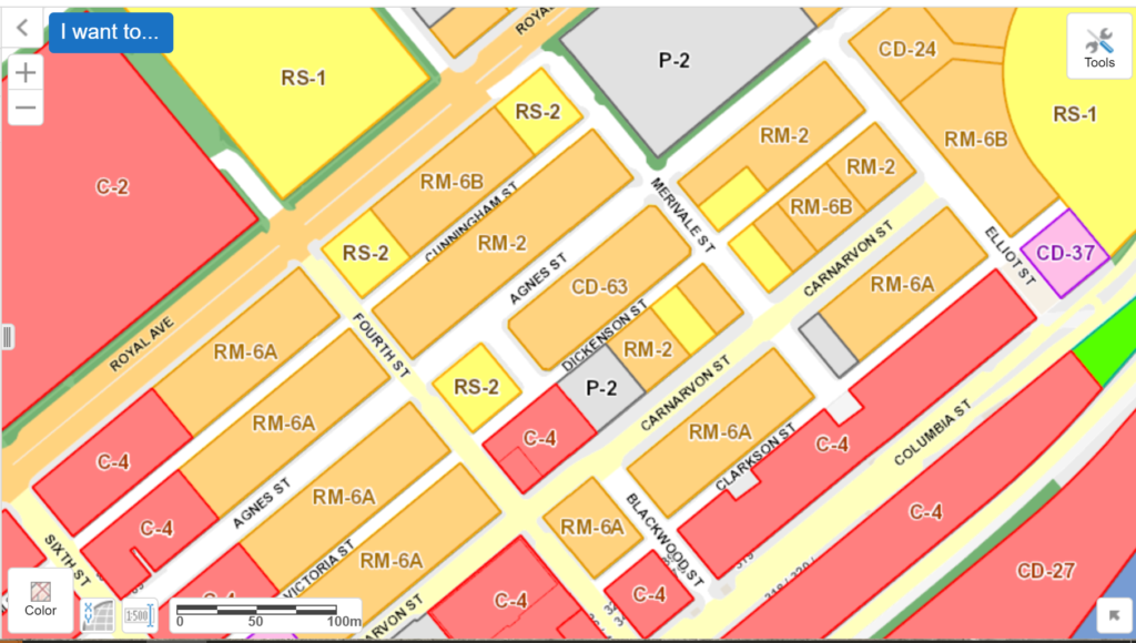
The Floodplain Management Strategy really addresses one type of flood risk we have in the City, that of freshet flooding of the Fraser River. We have another couple of risks not directly addressed by that strategy: seasonal or flash flooding on the Brunette River, and localized intense storm events like recently occurred causing minor localized flooding on Quayside Drive, which I would call “upland” floods, because they are not caused by the river rising so much as water not getting to the river fast enough. They all need different approaches, and the risk factor of each will be impacted differently by Climate Change.
As far as the Fraser River flood, this is the area I think we are most prepared for in the medium-term. The oft-mentioned survey of dike conditions report from a few years ago, circulated more widely during the current Fraser River flooding episode, makes New West look pretty good, comparatively. The Crest Elevation and Dike Assessment ratings are generally fair to good, comparable to Richmond and very far ahead of most other municipalities along the river. There has been a lot of work done since that 2005 report to improve both the dike (mostly along with new adjacent developments) and the ability to pump water out and over the dike during intense rain or if there is some local wave wash overtopping during a Freshet flood event. Just in the last couple of years, we have spent millions on upgrading the Wood Street and Boundary Road pump stations to bring them up to modern capacity need and seismic standards.
That said, from a geography sense, Fraser River freshet floods are not likely our biggest concern on this lower part of the river. Here, the water height varies more by tide and storm surge cycle than by freshet cycle. The concern to plan around is not a single spring freshet that is larger than others (like the 1894 or 1948 floods), but a significant low-pressure storm coming though during a king tide around the time of higher-than-average freshet. It is perhaps macabre to think about it, but am 1894-style freshet will likely cause dyke breaches from Hope to Langley, and this extra water storage capacity on farm land and in those more vulnerable communities may serve to reduce the danger further downriver like Queensborough and Richmond. Dike planning needs to be holistic and address the entire estuary, and that is the most common call for every community along the Fraser. There is even a model in place, we just need to fund it.
The Brunette River is a bit more complicated. It has a different freshet than the Fraser River and it is more prone to intense local storms, but the lower reaches are also impacted by flood stage in the Fraser. There are very few homes impacted by a Brunette River flood, but the Braid Industrial Area may definitely be affected, and there are areas of it not protected by any meaningful dike. This is an area where the City puts a lot of emphasis on tiger dams and sandbags if floods are predicted, but the complexity of the jurisdictions here (rail lines are federally regulated, cannot really be “raised” and rail beds are pretty permeable to water; a large part of the waterfront belongs to the Port of Vancouver, so we couldn’t dike it if we wanted to) meaning proactive measures are much harder to coordinate.
Upland floods from intense storms are much harder to predict, and the engineering solutions are daunting. There is only so much underground storm sewer pipe capacity, and though we are currently investing a lot of money in new storm sewer infrastructure, there is always a cost/benefit math around adequate capacity for very low-recurrence events. We are also investing more on “green infrastructure” such as groundwater infiltration, permeable surface treatments and trees, in hopes we can locally capture more of the storm water and reduce the “peak” of the most intense storm flows. But none of this fits in the Floodplain Strategy.
Where the report you read talks about “annual basis” planning, that means every year (starting in the late winter) we get regular updates on snowpack and predicted melt rate across the Fraser River basin. That is modelled into predicted flows in the month ahead, and we prepare flood response based on those numbers. If the freshet forecasts start to look floody, we start procuring and organizing response materials (tiger dams, sandbags, sand, pumps, etc.) well ahead of time. In my perhaps hazy recollection of 7 years on Council, we have gone so far as to deploy sandbags in the Brunette River area once, and had no river-sourced flooding. So the “annual basis” is around temporarily protecting low-lying areas and prepping for a flood if it is likely to occur, and in no way replaces the medium-and longer term dike upgrades, pump capacity, and storm sewer investments we need to do.
Now, about Climate Change. In general, engineering practice now accounts for it, in as good as they can. Though that means different things for each of the different risks. Add to this a major challenge of estimating or modelling the various impacts Climate Change will have on everything from local storm intensity to snowpacks in Cariboo.
The current models suggest intense rainfall events and rain-on-snow events will become more frequent in our part of the world with climate disruption, both likely to increase the frequency and possible intensity of upland floods and Brunette floods. I guess the upside is that these are likely to be more localized with limited damage (which doesn’t make you feel any better if it is your home or business that is local damaged).
Research from a few years ago (and I honestly have been not keeping up, so this may have changed) suggests that peak freshet flows in the Fraser may actually be lower on average, even as annual average flow goes up a bit over the next 75 years. So floods that meet our design levels may actually become less frequent.
The problem is, we are in the tidal range of the river, and sea level rise will most certainly impact New Westminster. The current Provincial Guidelines are to design dikes for a 50cm increase in sea level, putting dike standards where we previously expected sea level change to get by 2050. More recent research (for example, by the Research Council) suggests we will be past there by 2050. The detail of raising dikes an extra 50 cm is actually not a small one, but at least New West is not alone in this. Which is why many communities (including New West) are calling for a return to basin-wide flood and landuse planning along the shores of the Fraser River Estuary in a FREMP-like model as I linked to above.
The elephant in the room is the worst case scenario, and this is a global concern, not a New Westminster one. If we have 50cm of sea level rise by 2050, we can and are planning for that. Some of that adaptation will be expensive, but we can see how to get there. By 2050, we should have an idea of how to address 1m sea level rise anticipated for 2100, though that will bring new engineering challenges, and perhaps some uncomfortable discussion about triage: what lands we protect, what lands we abandon. However, worst case scenarios for sea level rise past 2100 are dire, and frankly very difficult to plan around. The planet with 3m of sea level rise is a very, very different planet. Most major cities are at least partially inundated, most currently ports are no longer functional. The global economy is not the one we have today. From an engineering perspective, this is not something we can plan for, and the people planning today will not be the ones planning for that eventuality.
This is why we still, while facing inevitable climate change, need to work to reduce the scale and impact of climate disruption. The battle against Climate Change is not over because it is now inevitable, the race is now afoot. Every tonne of carbon we keep out of the atmosphere today is a reduction in inundation we will see post 2100. So in that sense, our long-term flood management plan is probably best seen here.
 M
M