What a crazy Tuesday night.
Since I already declared my biases and my opinion that active participation in democracy requires more than voting, it should surprise no-one that I spent a very long Election Day knocking on doors to Get Out the Vote in a potentially close riding. I was then, like many others, up until the wee hours trying to glean every bit of information out of what I was seeing on the TeeVee. It was exasperating, exciting, exhausting.
The only thing we know at this point is what we don’t know about how this is all going to play out. But I don’t know a lot, so I may as well write my thoughts.
For the NDP, it is hard to not feel like this is a win, if not as big a win as they would have liked. Based on the direction of polls in the last week and the apparent campaign strength of the Liberals, getting close enough to force the Liberals to put their hubris away is a positive result. As critical as some people (including myself) were of parts of the NDP campaign, the benefit of hindsight may suggest they knew exactly where to put their resources, and where the wins had to come. With essentially the same vote as last election, they are within a whiff majority. Because of the wonders of gerrymandering, it was assumed by some that the NDP would need to poll 3-5 points ahead of the Liberals to get a majority of seats, and the strategy of concentrating on “winnable” ridings and holding what they had instead of spreading themselves too thin almost paid off.
For the Greens, there is good news, if unrealized hopes. The (potential) hung parliament puts them in a position of delicate power, and only time will tell if Weaver is nuanced enough to wield it effectively. However, if their goal was 4 seats and Official Party Status, they have fallen short, and may again struggle to put together the resources they need between elections to be as strong a voice as the electorate is suggesting they want. There was some excellent campaign work by some local teams (including here in New West), and that will probably pay long-term benefits electorally, but they still have much work to do before they are ready to run a true province-wide campaign and escape the stigma of being thought of as potential spoilers for other “more likely to win” parties.
As always, their best bet is still supporting the introduction of some form of proportional representation, only now, they have a clear pathway to get that done.
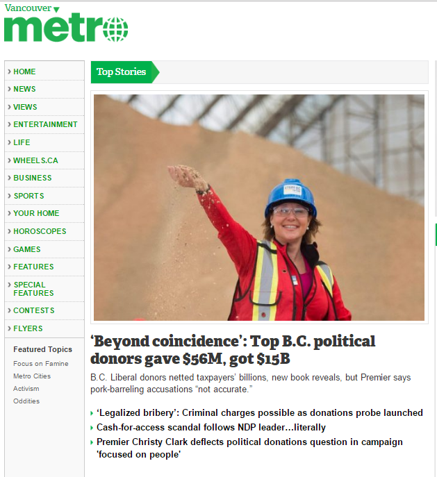
Christy Clark put on a brave face in her “victory” speech, but she was a loser here. Going in, she had every reason to believe this would be a great election. The “Economy” (within the narrow confines of how she defines it) is going great, they had by far the most campaign money available to them, and an almost unlimited amount of pre-election taxpayer dollars to get their message out. They had the endorsement of all major media outlets, the polls were going their way… it was their campaign to lose.
Regardless of who holds the balance of power after the recounts and brokering are done, the Premier has lost a lot of her inner circle. Suzanne Anton, Amrik Virk, Peter Fassbender, Naomi Yamamoto. The Holy Trinity of DeJong, Polak and Coleman will hold up her right flank, and it seems Wilkinson is a natural to replace Fassbender as the Minister of Taking Out the Garbage, but there is no doubt her inner circle is damaged.
The best she can hope for right now is that final counts flip her a riding or two, and she takes a razor-thin majority into the house. If this happens, we will see a very different Liberal Party, because they will need to be all present for every vote (no sick leave, no vacations, and dear God, no-one die!) and may even, to make passing legislation work, need to work across the aisle and collaborate a bit to avoid chaos. Of course, the same applies if the NDP string together a razor-thin majority or cobble together a coalition. Or we could all be doing this again in September when the current budget runs out.
But I’m getting ahead of myself. We really don’t know what the next couple of weeks will bring, but it should be an interesting lesson in civics.